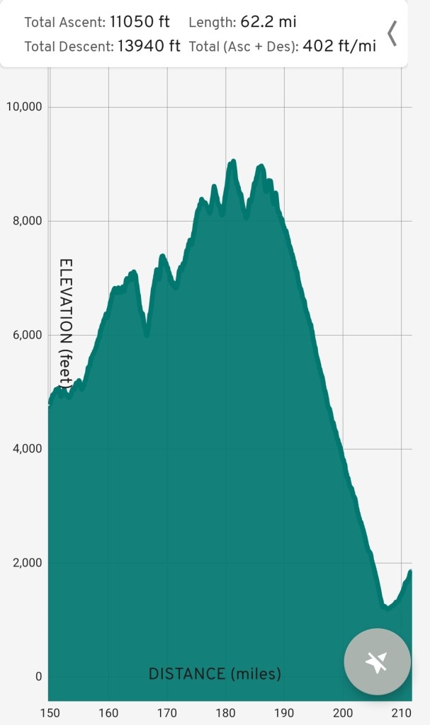
Mt. San Jacinto is the first major obstacle of the PCT. Over 60 miles, we climb more than 11,000 feet and descend 14,000 feet. The peak stands at 10,834 feet, taking us from exposed, dry desert to subalpine, snowy mountains.
Talk of San Jacinto dominated conversions between hikers for the first two weeks. Snow conditions, weather, and the physical challenge weighed on us after 150 miles of relatively easy terrain. We had the added bonus of an incoming cold front, giving us a little more than 3 days to cross the massif.
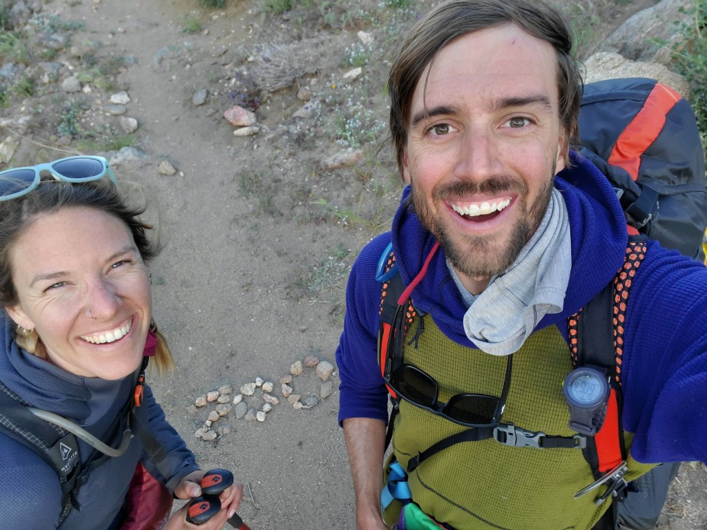
Day 13 – 17 miles/169
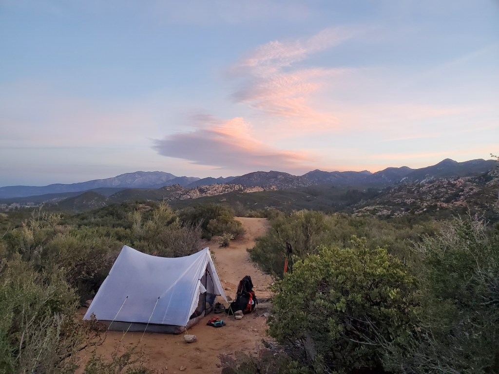
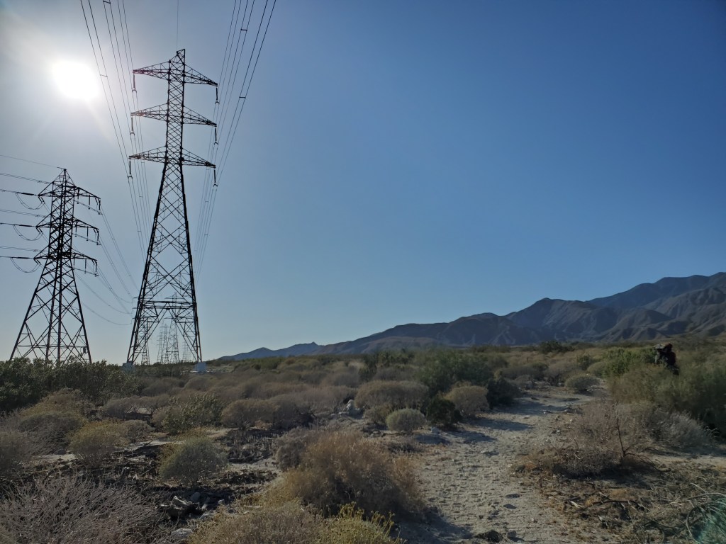
We started off with an easy morning through desert scrub and granite boulders, a nice warm up after the rest in Idyllwild. Our first water source was a couple of “pools”. I only saw a couple mosquito larvae…
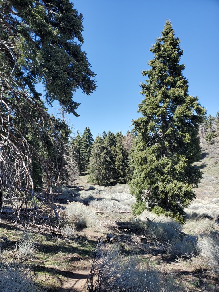
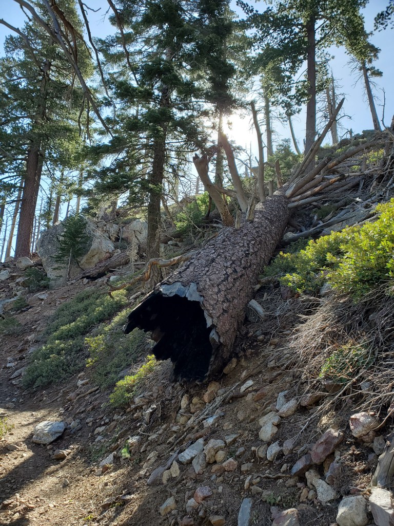
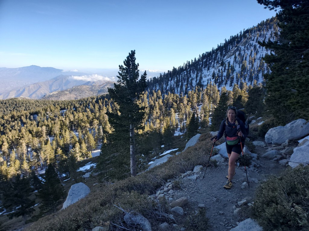
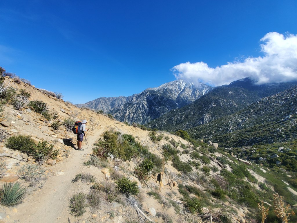
The trail steadily climbed to 7,000 feet. We ate lunch under the shade of a lone pine tree and chatted with a pair of hikers. Firs, pines, and incensce-cedars grew more densely as we hiked a little higher. It was a windy day. We procedded to enter an old burn scar with sketchy snags ready to blow down, unsettling to say the least.
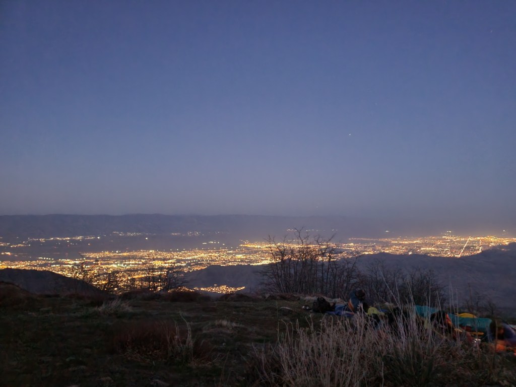
Nice views to Coachella Valley 6,000 feet below. We hiked the last few miles to Apache spring, which included a tough final climb. The wind had only picked up from earlier, so we cowboy camped to avoid the flappy tent sounds again. Over a dozen hikers did the same.
Day 14 – 16 miles/185
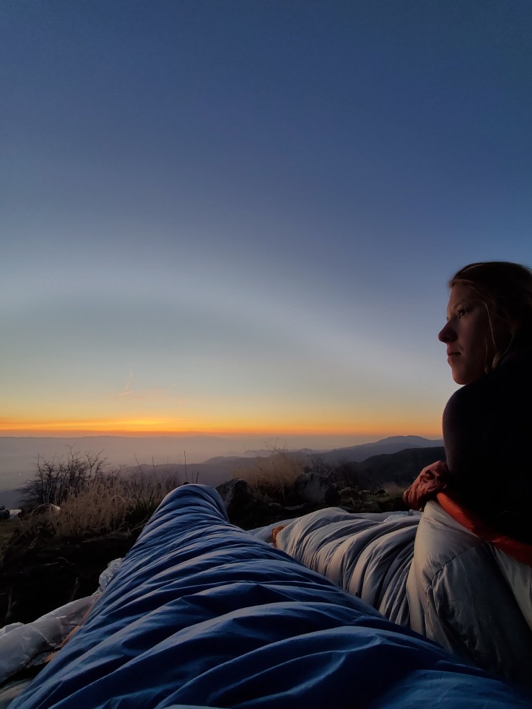
Maggie and I got a decent night of sleep despite the howling wind. We awoke to sunrise at our feet. Rather than the usual morning routine of making breakfast and packing up, most of our camp neighbors sat quietly in their sleeping bags to watch the sunrise. What a simple joy…

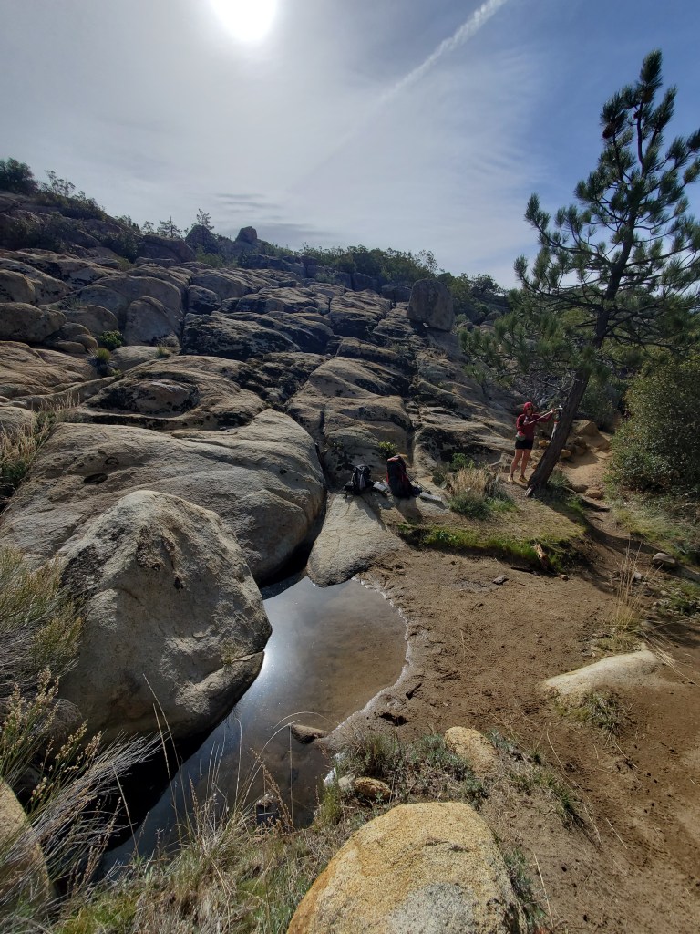
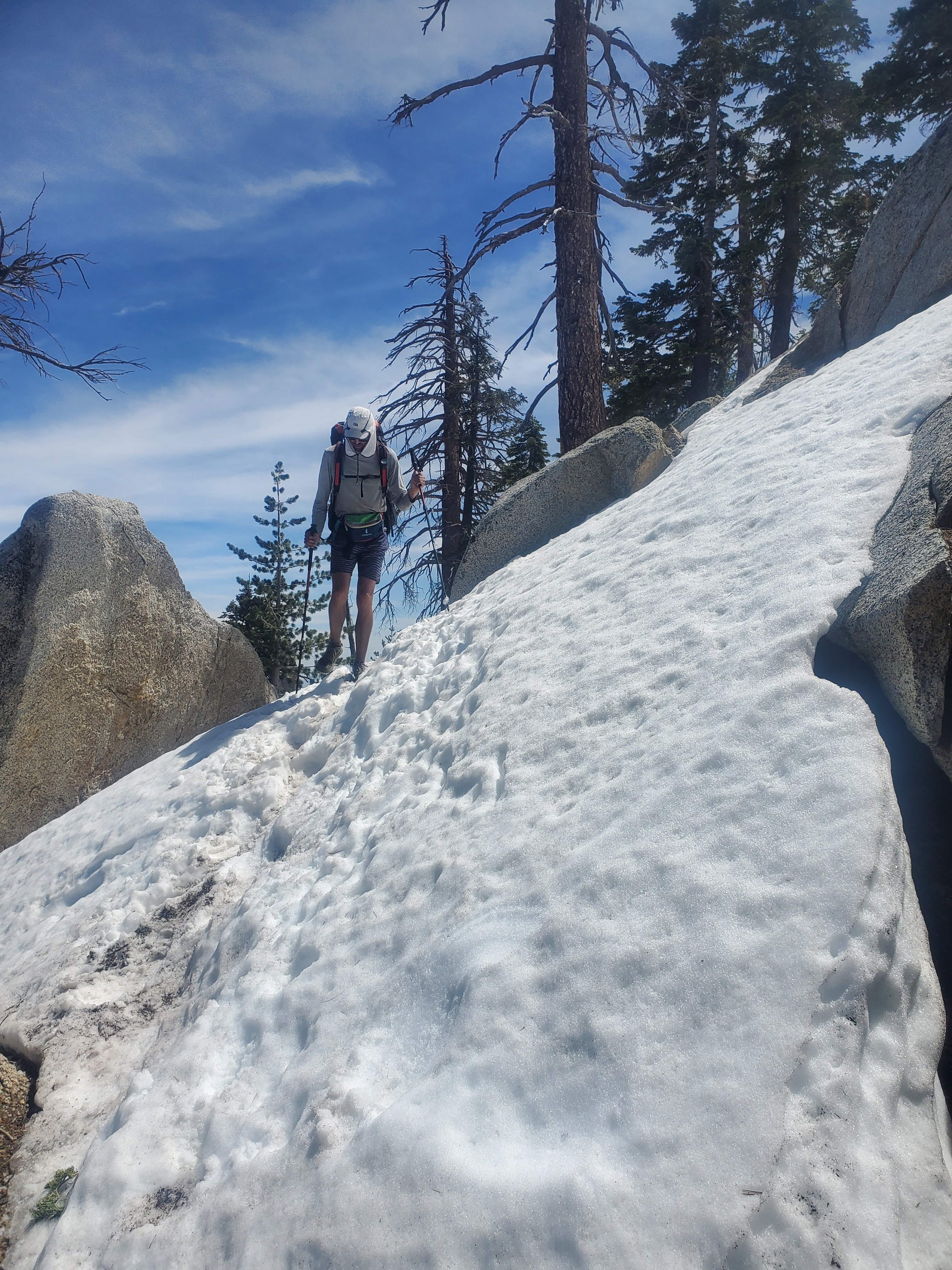
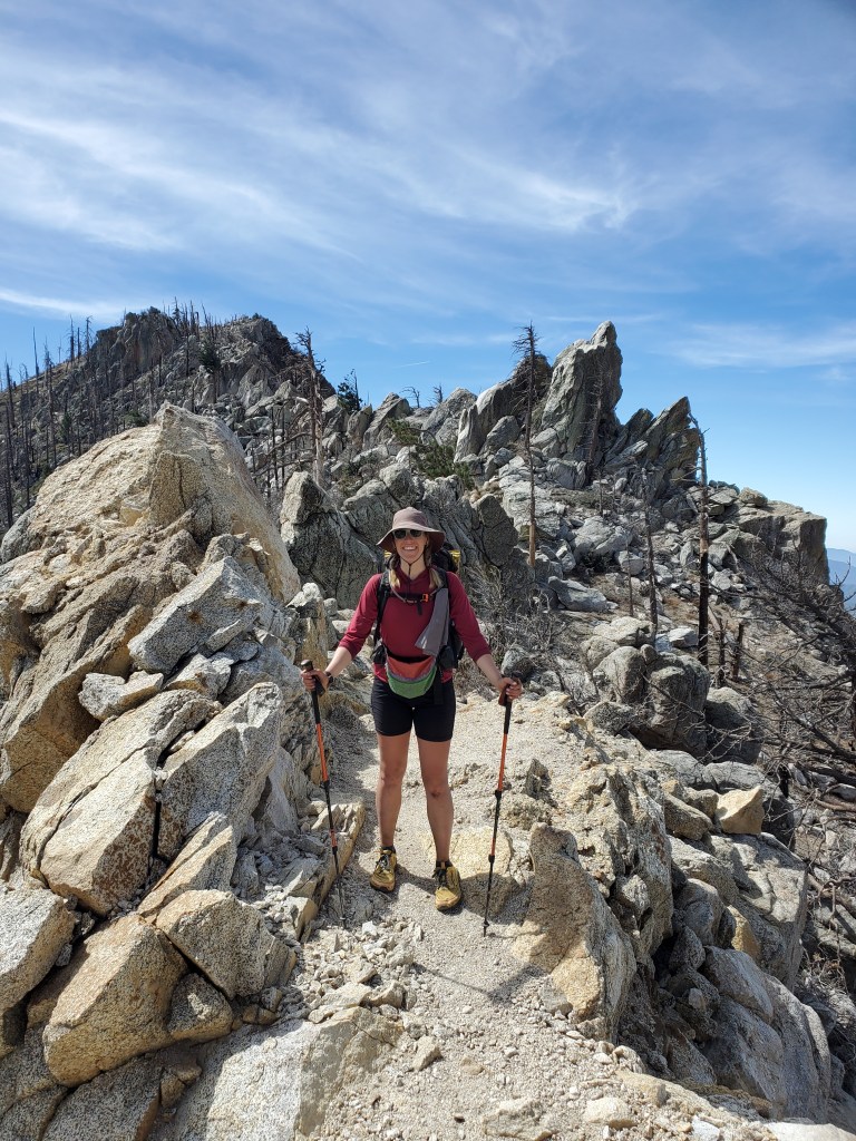
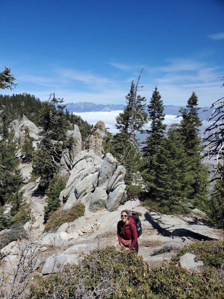
The trail provided lots of up and down on south end of San Jacinto, weaving around all the impasses. The difficult hiking at least came with great views and cool rock formations all around. The recent fire and persistent SoCal winds introduced lots of blowdown across the trail, trees 3 feet or more in diameter at times, making travel slow. We encountered the first snow fields and strapped on our microspikes.
Between the terrain, trees, and snow, we had only covered 12 miles by 4pm, about 1.5 mph, much slower than our normal pace. We debated summiting Mt. San Jacinto, factoring in daylight, distance, and weather. Ultimately we decided to go for it, with the knowledge that a bunk house was up near the summit for emergency use. A snack and Ibuprofen break gave us energy we needed to push the last 4 miles and 1,800 feet of vert.
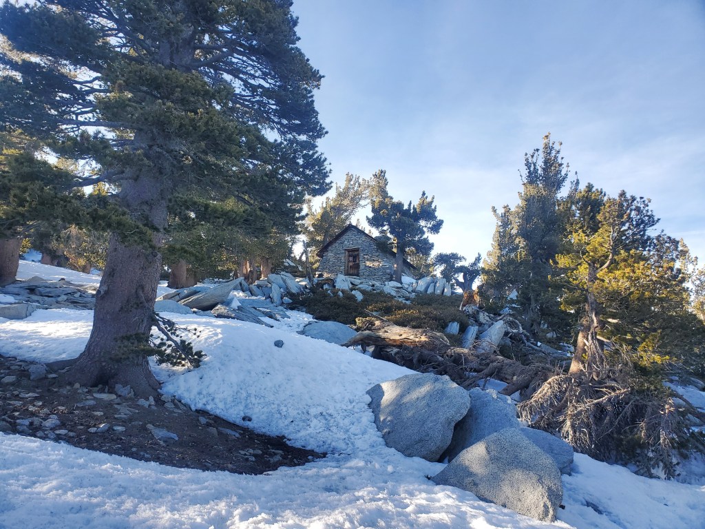
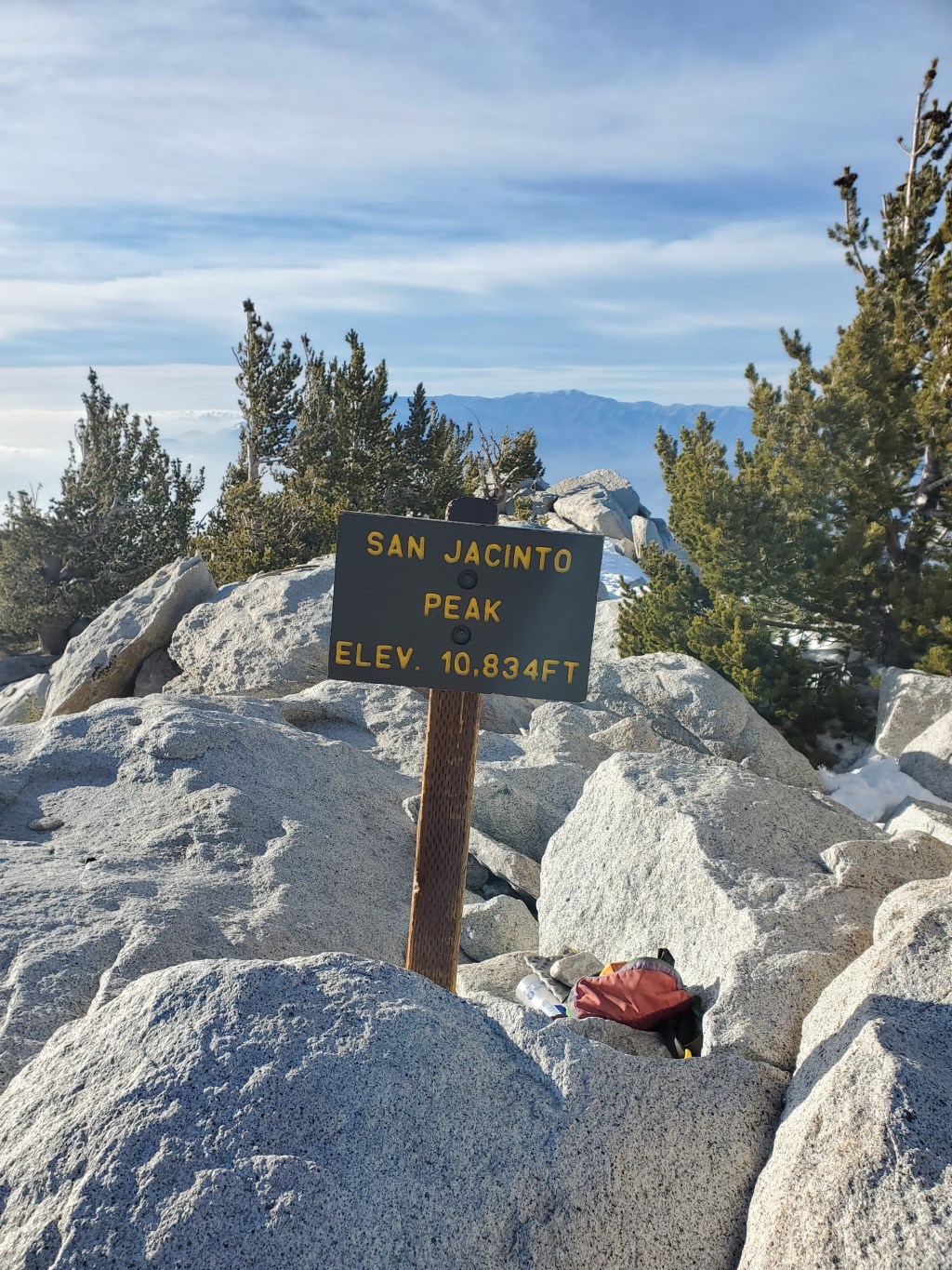
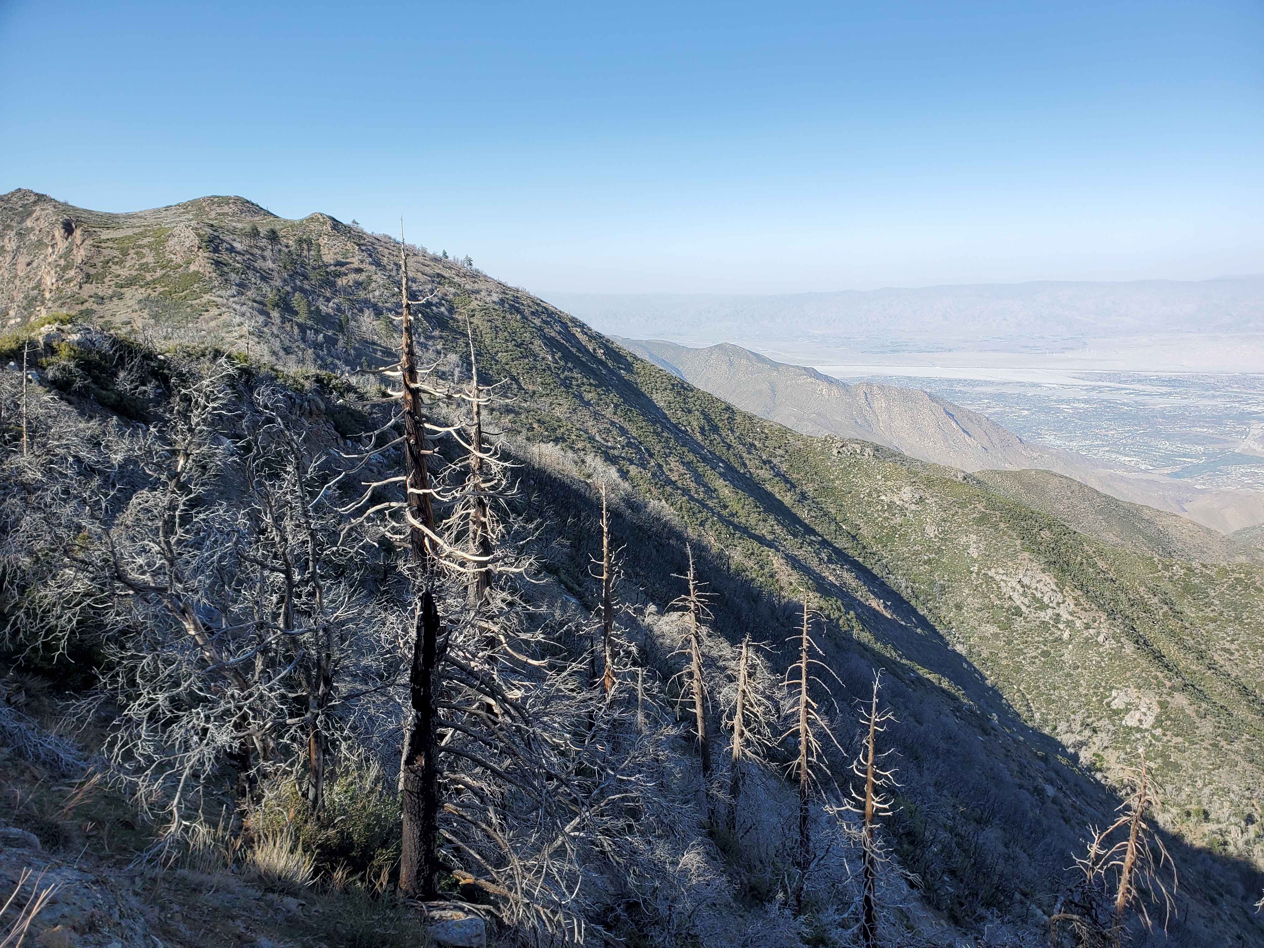
We cruised up to the top in 2 hrs to arrive at 6pm. It was crazy windy and chilly up near 11,000 feet. To the west, the sun shone upon an undercast of moist pacific air covering L.A. and San Diego in thick low lying clouds, a preview of the incoming storm.
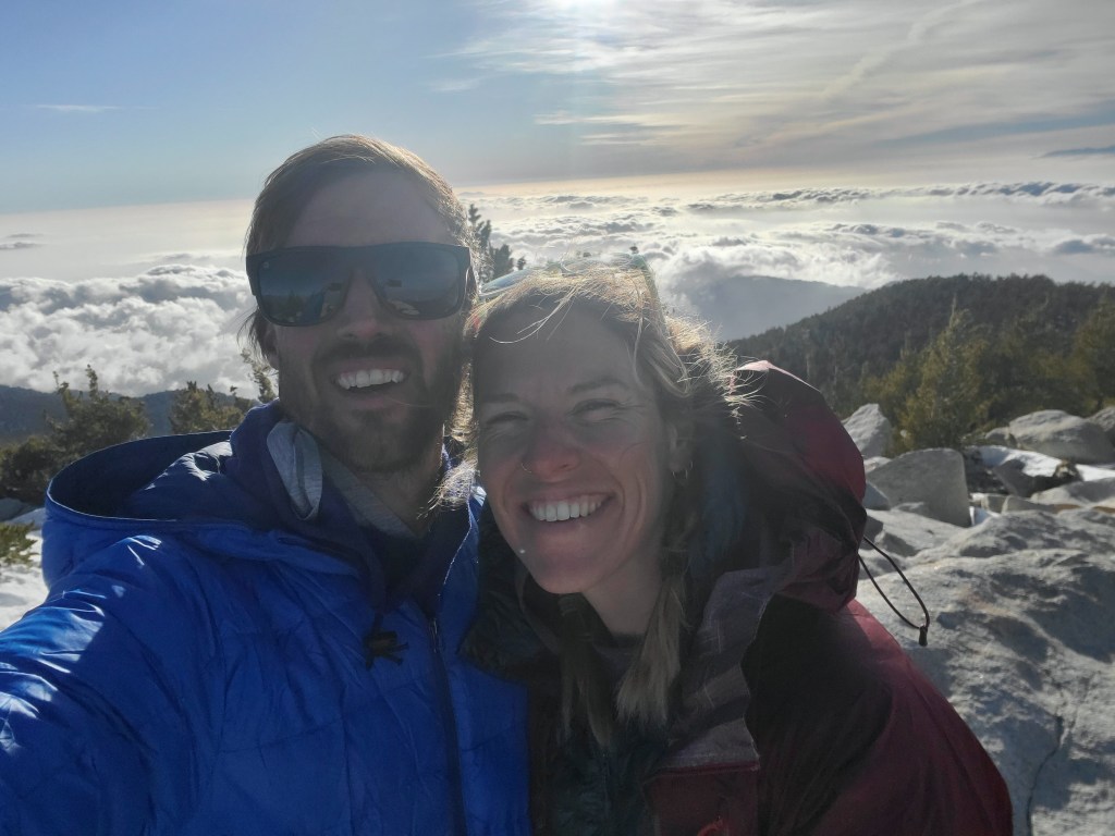
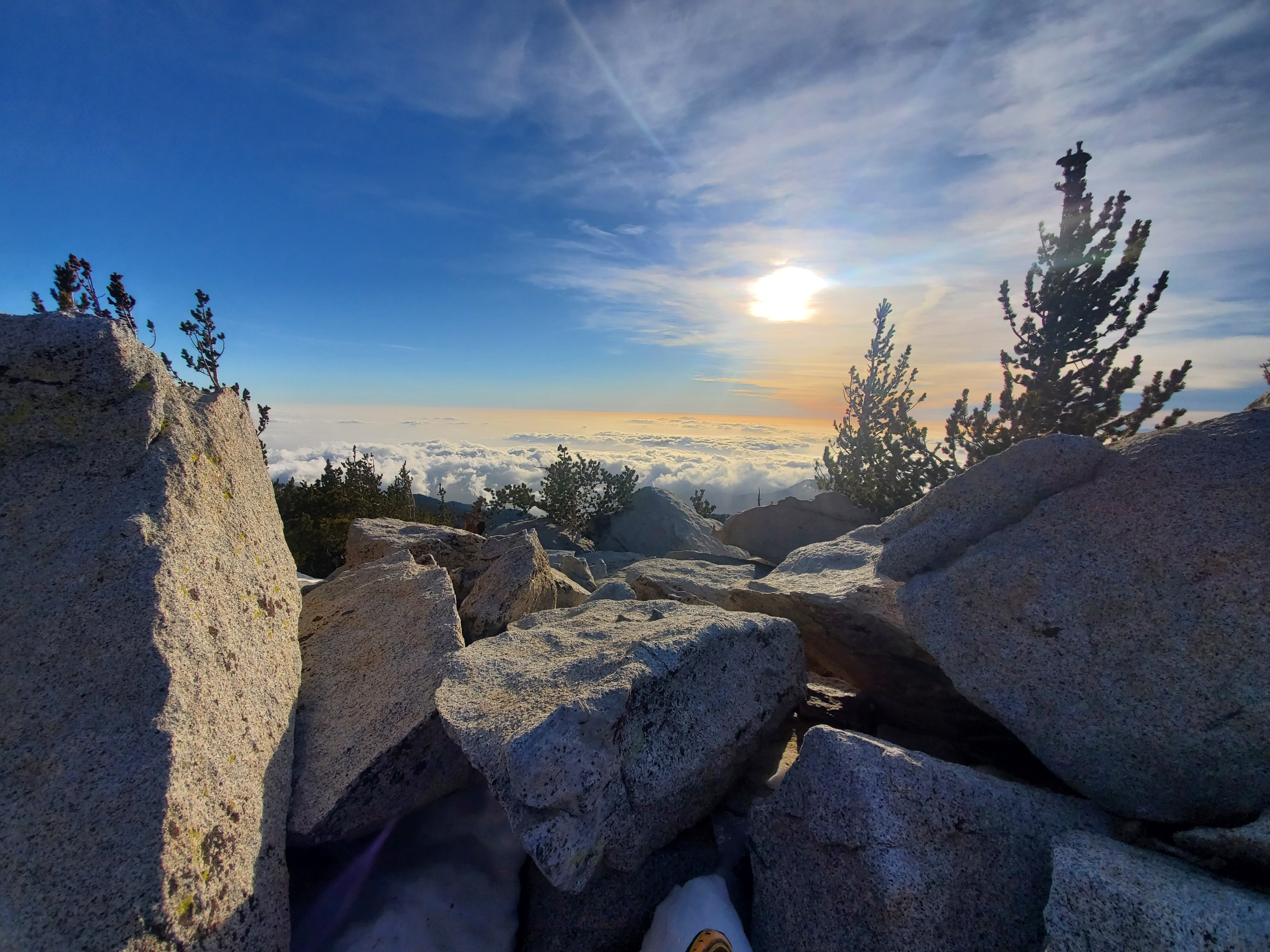
To the east, the air was clear, giving us a rare view to the valley floor with more than 10,000 feet of prominence. Big wind turbines were the only man made thing we could make out from such a great height. We were hungry, so we took a few summit pics, took in the view for a couple minutes, and got back in the hut. We shared the hut with a funny guy from Israel, and 3 quiet high-school graduates. Maggie and I took the floor, thankful to be out of the bone chilling wind.
Day 15 – 16(+2) miles/201
We awoke in the summit hut after a mediocre night of sleep. Creaking bunks and the lumpy floor did not make for the most quiet or comfortable sleeping quarters, but we agreed it was better than a tent. The high school grads packed up quick and left early, the Isreali not far behind. We made hot tea and coffee, getting on trail at our typical 8 a.m.
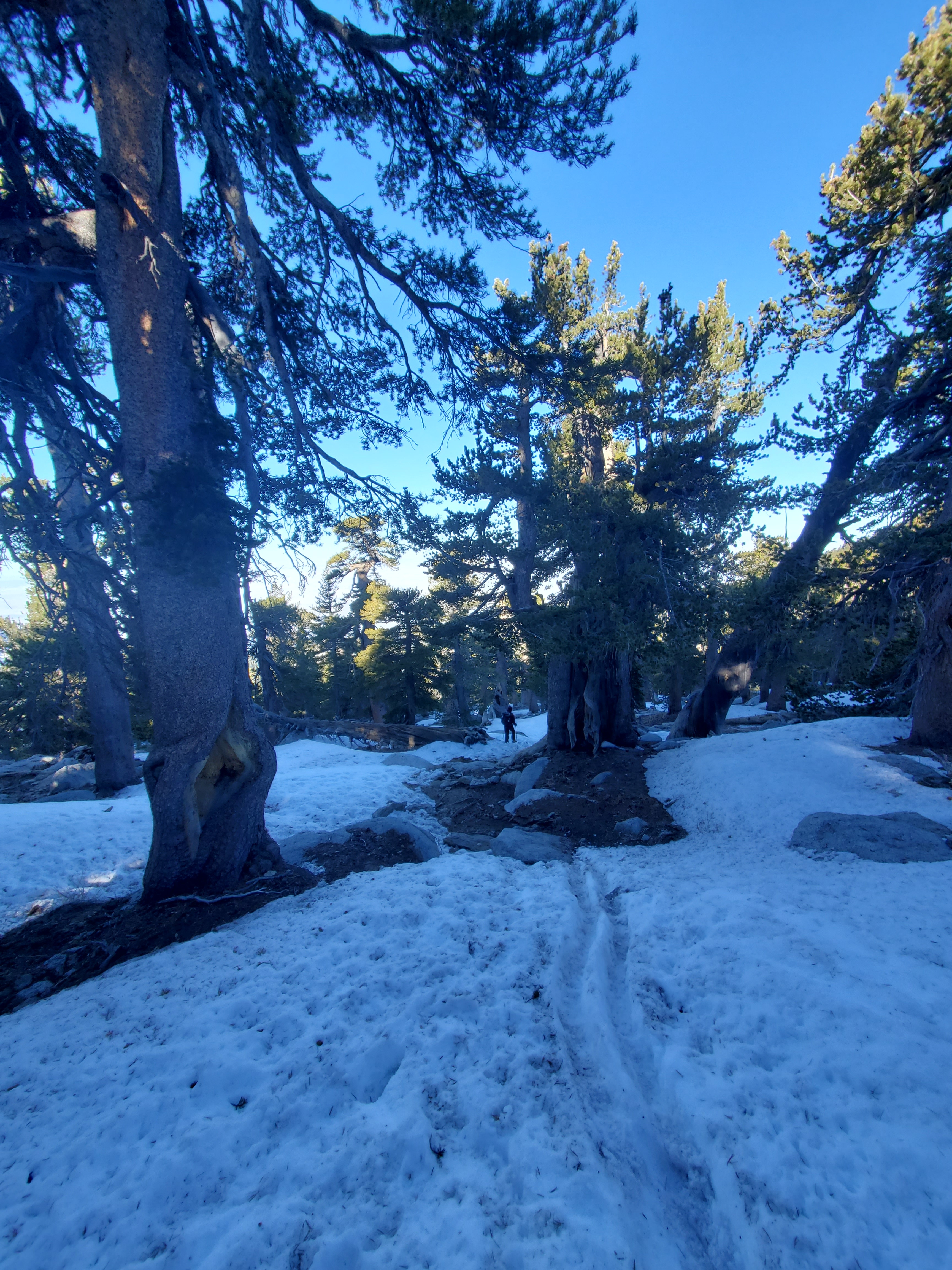
The route off the mountain necessitated microspikes, with firm snow on the downhill. The peak trail adds two bonus miles to our trek, since the PCT proper does not go over the summit. We got water at a nice alpine creek, swollen with fresh snowmelt. The trail continued with a few small ups and downs on Fuller Ridge.
Somehow we only made it 5 miles before lunch. The wind was starting to pick up again, and the ominous coulds to the west were growing and pushing higher on the mountain. We saw one small branch fall from above, blown down by the wind, while eating. It was time to boogey and get off the mountain. We started cruising down north side of San Jacinto, a 20 mile stretch with an 8,000 foot drop. The wind was getting rather intense, easily gusting 50 mph at times. I was especially weary of falling trees and branches, but thankfully we had no issues.
We were out of the woods. The long downhill section was gentler on out knees than I expected. We went another 13 miles after lunch, covering more than 7,000 feet of descent. We crossed 200 mile mark shortly before making it to camp. This milestone was a small confidence boost on top of feeling accomplished for making up and over San Jacinto before the storm hit. We cowboy camped in the intense wind, our eyes and mouths gathering sand and dust throughout the night…
Day 16 – 10 miles/211
The both of us got a terrible nights sleep. I slept maybe 5 hours, Maggie thinks she slept less than 2 or 3 hours. Chaotic gusts from all directions made it nearly impossible to doze off… I’m glad we at least had a decent weather window to enjoy the high reaches of Mt. San Jacinto. We continued the descent off the mountain with the epic north face in view the whole way down. It was a quick four miles to water, finishing a 20 mi water carry, where we met some new hikers we had seen briefly before, including the first one we met from Connecticut.
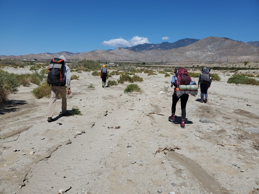
We needed to make it to I-10 to get a meal and resupply in Cabazon, an Indian reservation and casino town. Our rush to get off the mountain was put on pause when we emerged near the village of Snow Creek. A woman decked out in a pink sweatpants and ball cap was offering trail magic, our first of the trail. She made the hour drive from Orange County with snacks, cold drinks, and fresh fruit. We obliged, talked more with hikers from the water source. Eager to get to Cabazon for resupply, we didn’t linger too long to get to I-10/Whitewater.
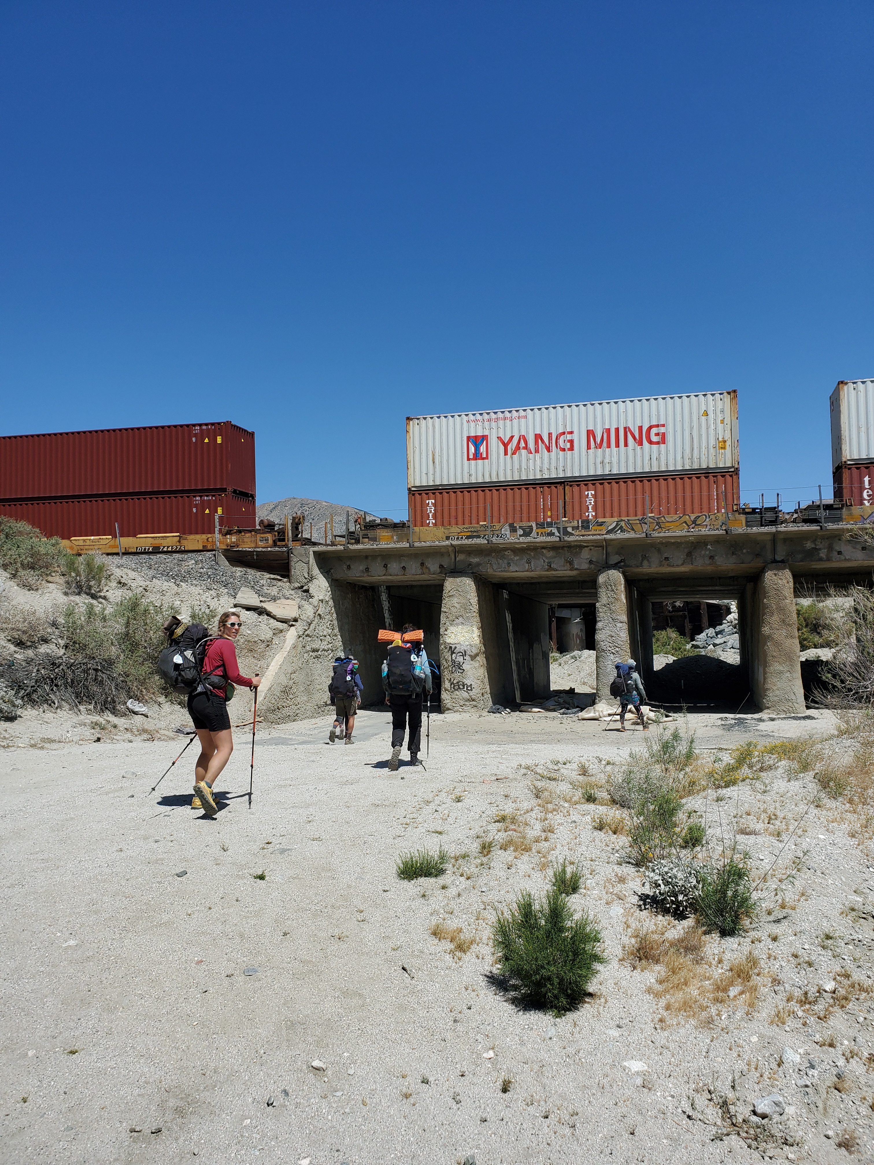
Four miles later, we were greeted by steady stream of 70 mph traffic, a freight train, and… more trail magic. I thought the last one was pretty great, but this woman under I-10, Mama Bear, went above and beyond- hot dogs, fresh fruit, cold drinks, fresh baked brownies and banana bread, a box of hiker food, and more. I was overwhelmed and ready to get to town, but Maggie put her pack down and we were in it. We’ll call it second breakfast. After making pleasantries, we finally escaped Mama Bear. We took an Uber to Cabazon since hitching is out of the question on I-10. We did a quick lunch and picked up trail snacks at the travel center/casino. Another Uber to Dollar General for our last bits of food. The selection wasn’t inspiring, lots of hikers had clearly cleaned out the typical backpacking foods, but there was enough. One last Uber back to the trail for 2 miles past the town of Whitewater to camp. We found our friends from earlier again and sat around for sunset conversation in a sandy wash.