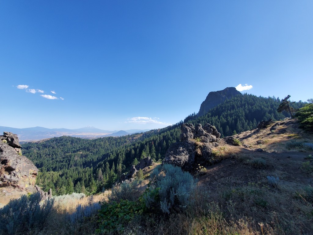
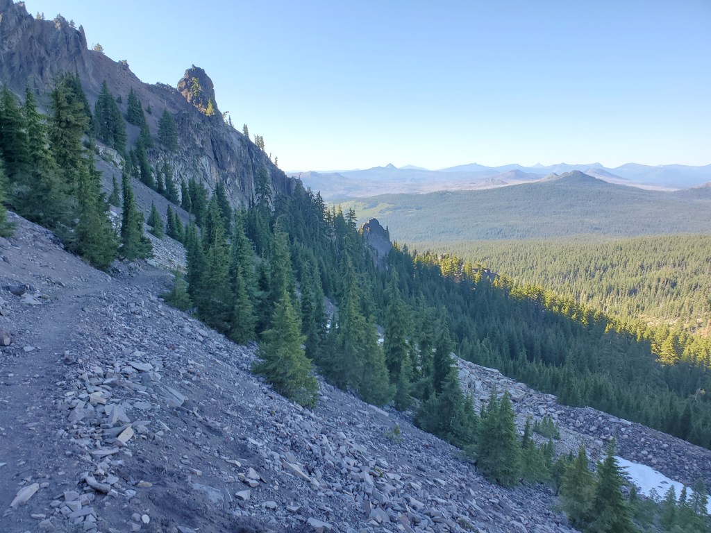
Oregon has a reputation amongst PCT hikers for being flat and boring. I would tend to agree, for some stretches anyways. Nevertheless, the Cascades delivered the volcanic goods on occasion throughout this 100 mile walk to Crater Lake.
Day 114 – 0 miles/1718 (7/19/22)
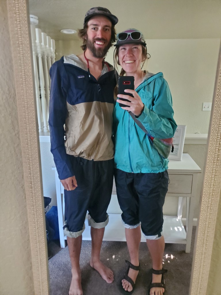
Laundry was our top priority. Have I mentioned that we wear our rain gear to the laundromat? Since we have to wash all the clothes we carry, rain gear is all we have to cover up! It gets quite… sticky after a while.
We picked up some breakfast burritos to go and walked over to the laundromat. We typically entertain ourselves scrolling through our phones while the clothes are washing, but we found a Better Home magazine from 1996 laying around. The interior decorating made us want to gag almost as much as the cigarette ads touting “lowest tar”. With clean clothes, we got our resupply shopping done by lunchtime. We were amazingly done with all of our town chores, so we relaxed for the rest of the afternoon, watching Forrest Gump in bed. We walked to downtown Medford for dinner, Asian noodles with a little bit of sushi.
Day 115 – 10(-1) miles/1728 (7/20/22)
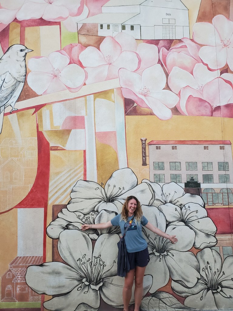
Maggie and I packed up in the bnb and got out on the town by 9 am. We had a light breakfast at a coffee shop in Medford, then walked to the bus and rode it to Ashland.
We met up with Bennet & Burrito-with-a-J for lunch. They had arranged a ride with a trail angel and offered up the other two seats to us. We stopped by the post office to send home Maggie’s old backpack and a couple odds and ends, then piled in for a ride from our trail angel, Skeeter. Turns out he was the one who left beer at the picnic shelter a few days prior! We thanked him for the drinks and his service. Skeeter dropped the four of us off at the trail head, which skipped a mile of road walking from where we got picked up. We all sat around the trail head for like an hour. When Bennet & Burrito-with-a-J realized we had skipped a mile, they decided to walk the missing section, while Maggie and I took the time to relax.

We all got moving at 3 pm. It was quite hot. Maggie was struggling a little with the heat. We mostly passed through scrubby forest, small oaks and dry grass lining the path. We climbed up and got a great view of Pilot Rock, a volcanic plug once used for navigation by aviators.
A shade break was necessary as the high temperatures compelled us to stop hiking. We eventually made it to camp at 6:45 pm, where we found some familiar faces amongst a dozen hikers. We ate dinner with Bennet & Burrito-with-a-j, taking notes on each other’s cooking methods.
Day 116 – 22(-2) miles/1750 (7/21/22)
We were near the back of the pack leaving camp around 7:30 am. We both felt kind of zonked, probably from a poor night’s sleep. The trail took us through forest and occasionally dry grassy meadows. We were graced by the presence of a trailhead pit toilet after a few miles in the morning. Amazing the things you come to appreciate while thru hiking.
The terrain was easy, but we were again struggling in the heat. Much of the forest was not very tall, and the sun shone through onto our backs. We took a road bypass which cut off about 2 miles, because we honestly wanted the hiking to be done as soon as possible.

Some bigger conifers came with life saving shade, and we hiked into the evening. There wasn’t really any open scenery to speak of. We made it to a campground by Howard Prairie Lake. This was the best part of the day. The free campground had electricity, flush toilets, sinks, and showers! Bennet and Burrito-with-a-J showed up, and we shared lots of laughs and another dinner together.
Day 117 – 23 miles/1773 (7/22/22)
Another rather boring day was in store. We wanted to sleep in a little after a couple of subpar nights of sleep. I even took a quick shower before we left the campground. We got moving at 8:10 am, and it was great to take it slow after feeling a bit worn down. We got water at a spring where we met The Great Dingleberry. This retired archeologist who was hiking the PCT with an external frame pack, a full size pump filter, and a DSLR camera. His heavy set up is puzzling in this day and age of ultralight gear, but we enjoyed chatting with him about plants and his archeological finds.

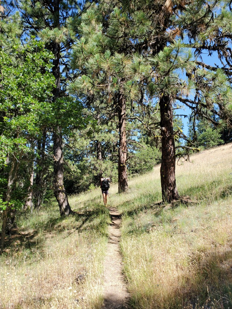
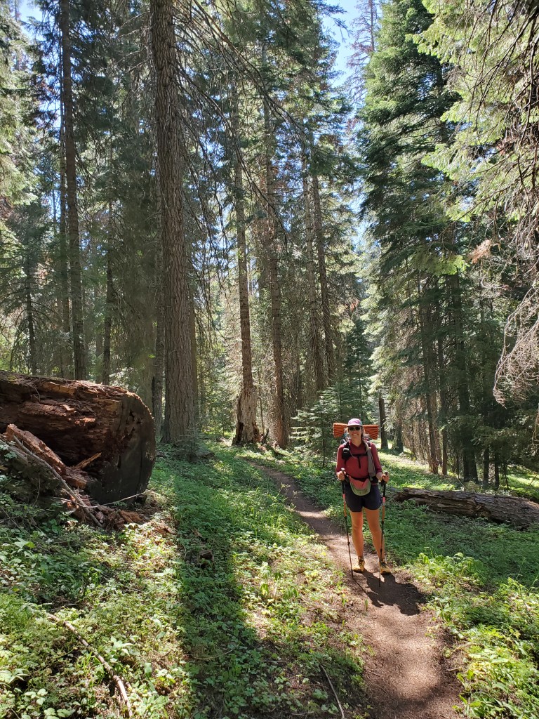
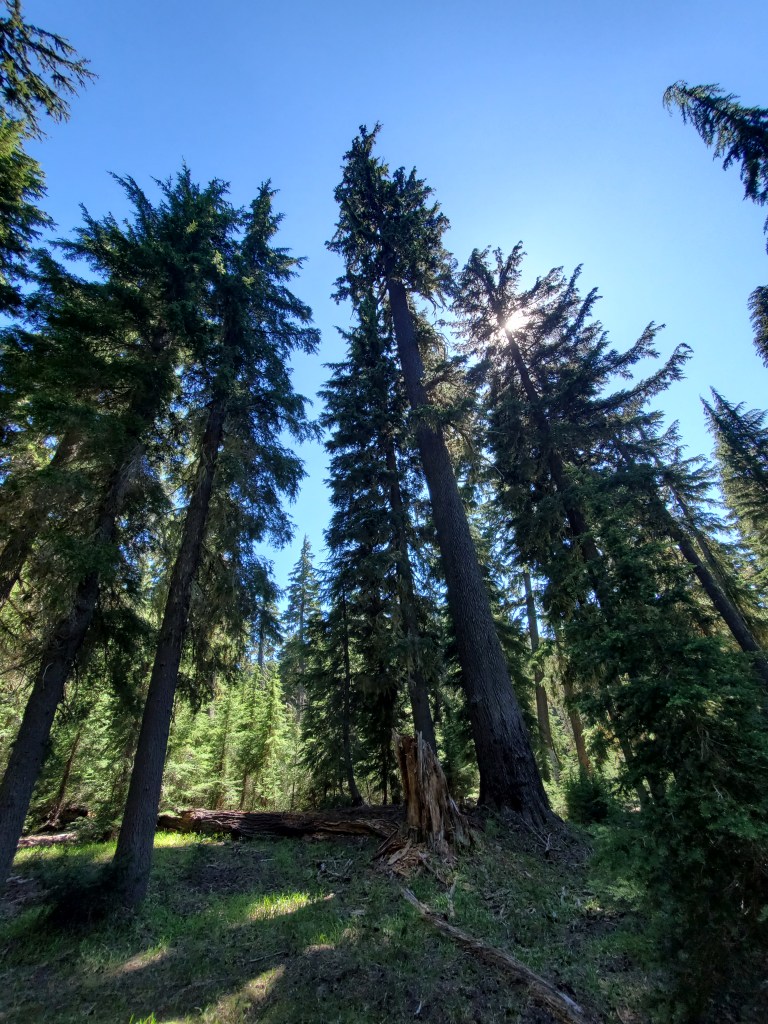
We plodded on through the forest, and the trees were starting to grow bigger than most of those we saw the day before. Shade was ample, the trail was flat, so we made quick work of the first 11 miles to County Road 553. We stuck our thumbs out on the road in the hopes of getting a hitch to Lake of the Woods Resort for a hot lunch. Another hiker joined us soon after, and despite the somewhat steady traffic, no one stopped for us. We couldn’t wait around all day so we defeatedly made our sad tuna/cheese wraps in the parking area. Two miles down the trail, we stopped for water at a small backcountry cabin. About 8-10 hikers were milling around, filtering water, and it sounded like most of them were heading for the same tent site we wanted to hike to. The race was on. From here, the forest grew taller yet with several Douglas-firs that were over 5 feet in diameter.
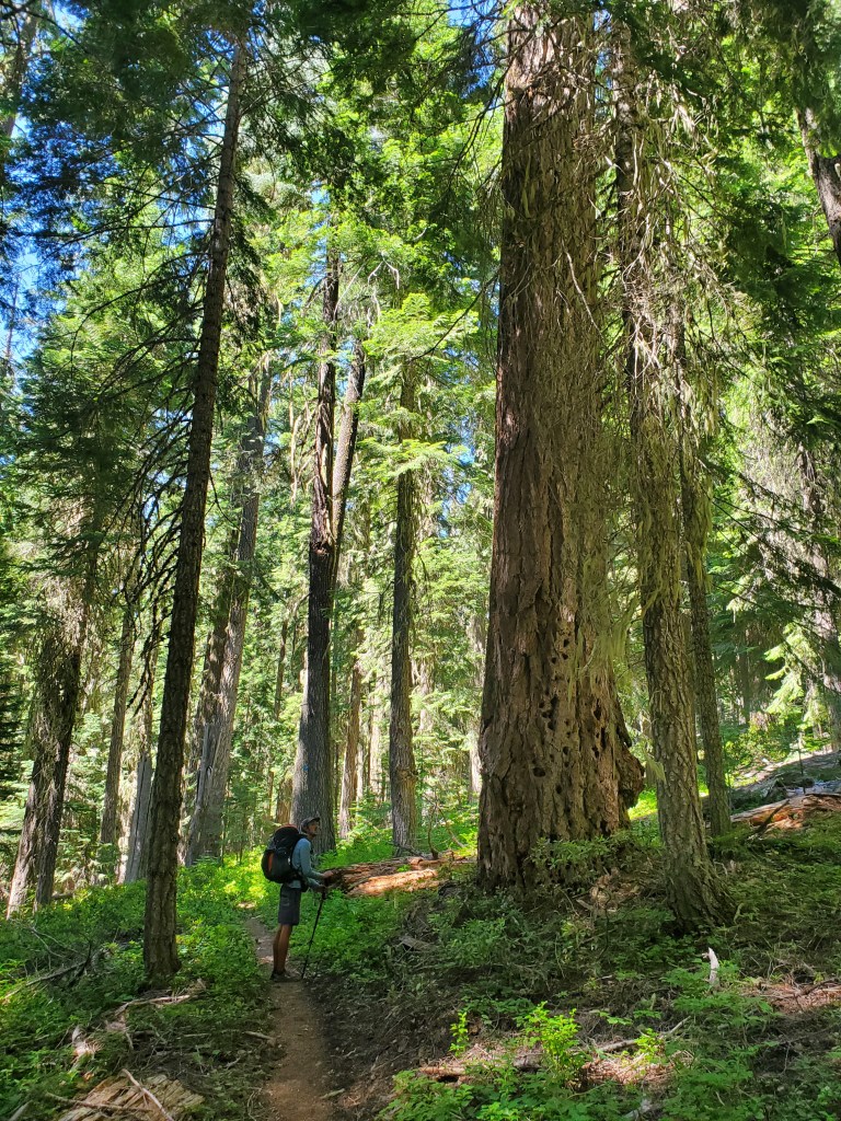
We had left behind California’s yellow wolf lichen for Oregon’s Old Man’s Beard, draping off of every nook on these massive trees. Beneath the giants, Pacific yew were more numerous than any point before this, growing in wiggly forms to catch dispersed sunbeams in the understory. The forest finally opened up for the last 4 miles, giving way to volcanic boulder fields. The trail was winding in and out of every little ridge as we descended, the rocks jabbing our feet though our shoes, making for a frustratingly long few miles. We at least got views of Mt. Mcloughlin in the distance.

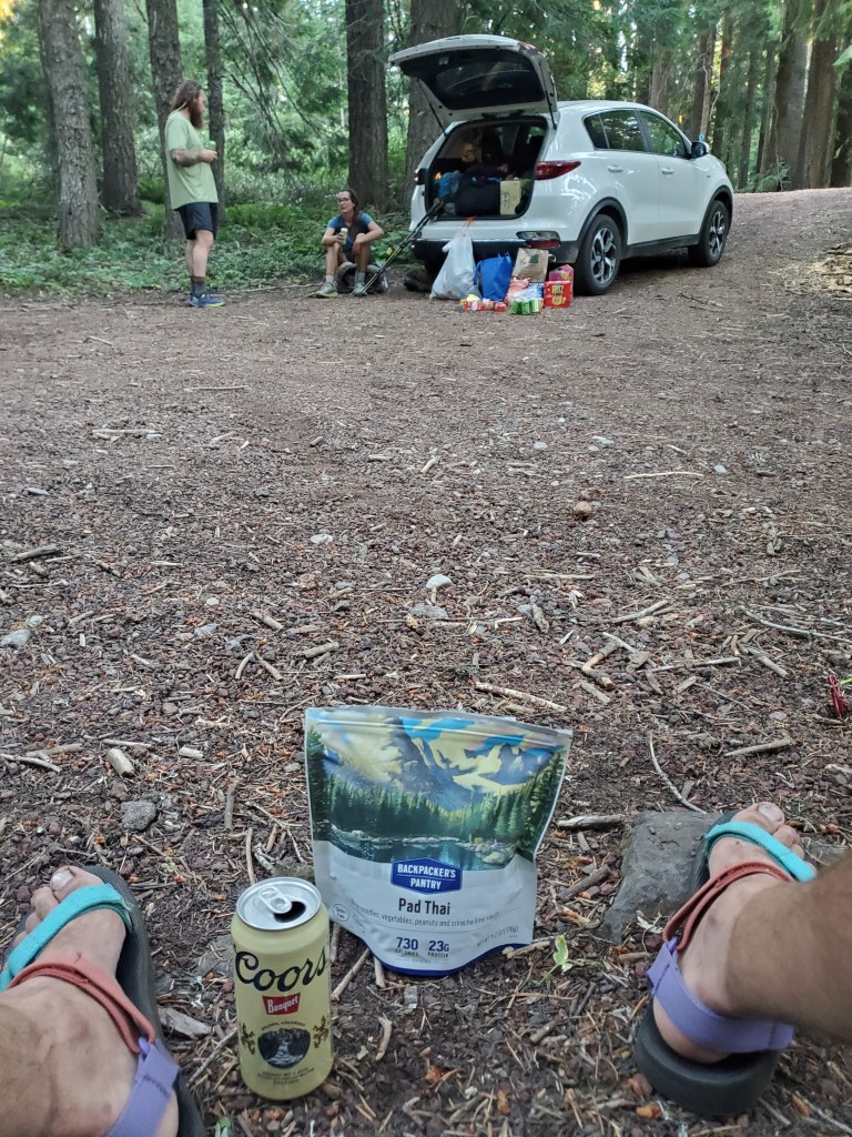
We finally made it Highway 140 at 6:50 pm. We once again tried to hitch to Lake of the Woods Resort for a nice dinner, but here too we were left on the curb. All good, our tentsite was across the street and next to a stream. We set up, and many more hikers filed in. Just as we were getting ready to make dinner, a white SUV pulled up on the road. “Anyone want a beer?!” a scruffy man shouted towards the campsite. Maggie and I looked at each other – the choice was obvious. We walked over and this scruffy man handed us each a cold Coors Banquet, chips, and clementines. Mike was a thru hiker taking a break from walking, so he rented a car and was providing trail magic for his friends on trail. We would come to call him “Magic Mike”. We were happy to be on the receiving end of his generosity, and it would not be the last time Magic Mike lended us a hand (or a beer).
Day 118 – 26 miles/1799 (7/23/22)
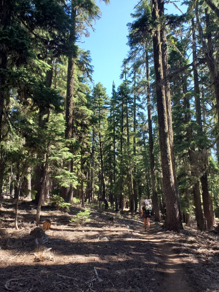
We were moving on trail at 7:10 am. It was very boring for 20 or so miles. Very flat, endless forest. There were some nice stands of hemlocks, but otherwise nothing worth writing about.
We had heard rumors that the mosquitoes in Oregon were the worst, and we finally found those rumors to be true. I recall crossing paths with a SoBo section hiker back in northern California who told us, “Everyone says thru hikers get through Oregon fast because it’s flat, but that’s not true.. It’s because the mosquitoes!” Add to that, 2022 was projected to be a record year for mosquitoes given the wet winter and hot summer, unforeseen consequences of global warming. We leapfrogged with Bennet and Burrito-with-a-J, stopping for lunch with them. There were lots of hikers at the lunch spot, again we heard them vying for the same tentsite that we were. Time to boogey!
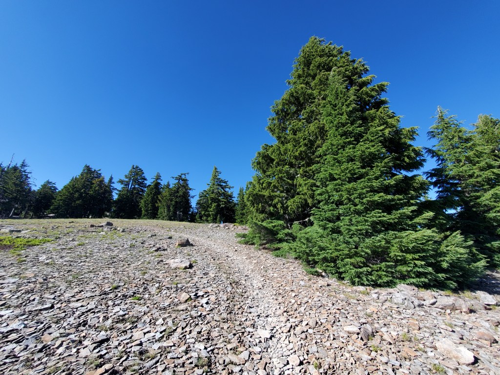

There was a decent climb up Devil’s Peak near the end of the day where the forest opened up for some nice views. The nature of these volcanic mountains became obvious up here. We walked on flat andesite rocks, which sounded like clanking dinner plates. We also met Hobbit, a friend of Magic Mike. She got her trail name because she was on a quest to destroy the one ring… Well her engagement ring, that is. Hobbit was going through a rough divorce, and when she summitted Mt. Whitney, she hurled the ring off the 2,000 foot east face of the mountain in a fit of petty revenge. What a badass!
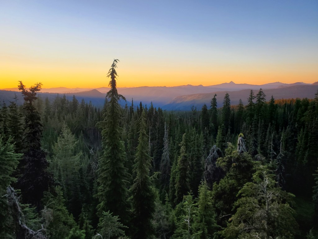
A short drop down to camp, where we set up camp by a little creek. We had a spectacular sunset, although we mostly watched it from the tent thanks to the killer swarms of mosquitoes. This also happened to be the first night our tent zippers started to fail us. On one of the doors, the sliders on the zippers were no longer joining the teeth together, resulting in big gaps in our tent door. Not ideal in peak mosquito territory…
Day 119 – 22 miles/1821 (7/24/22)
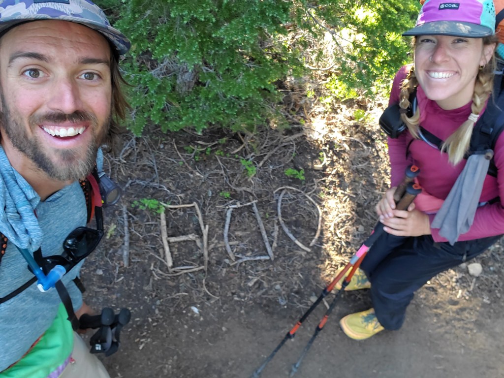
The morning mosquitoes were fierce. We slept in a little, but the blood suckers motivated us to get moving quickly. We crossed the 1,800 mile mark soon after setting off. The distance we’ve covered so far is starting to push the limits of what the human mind can comprehend. Yes, I can look on the map and see where I started and where I’ve been, but the number doesn’t really make sense anymore. It’s simply absurd!
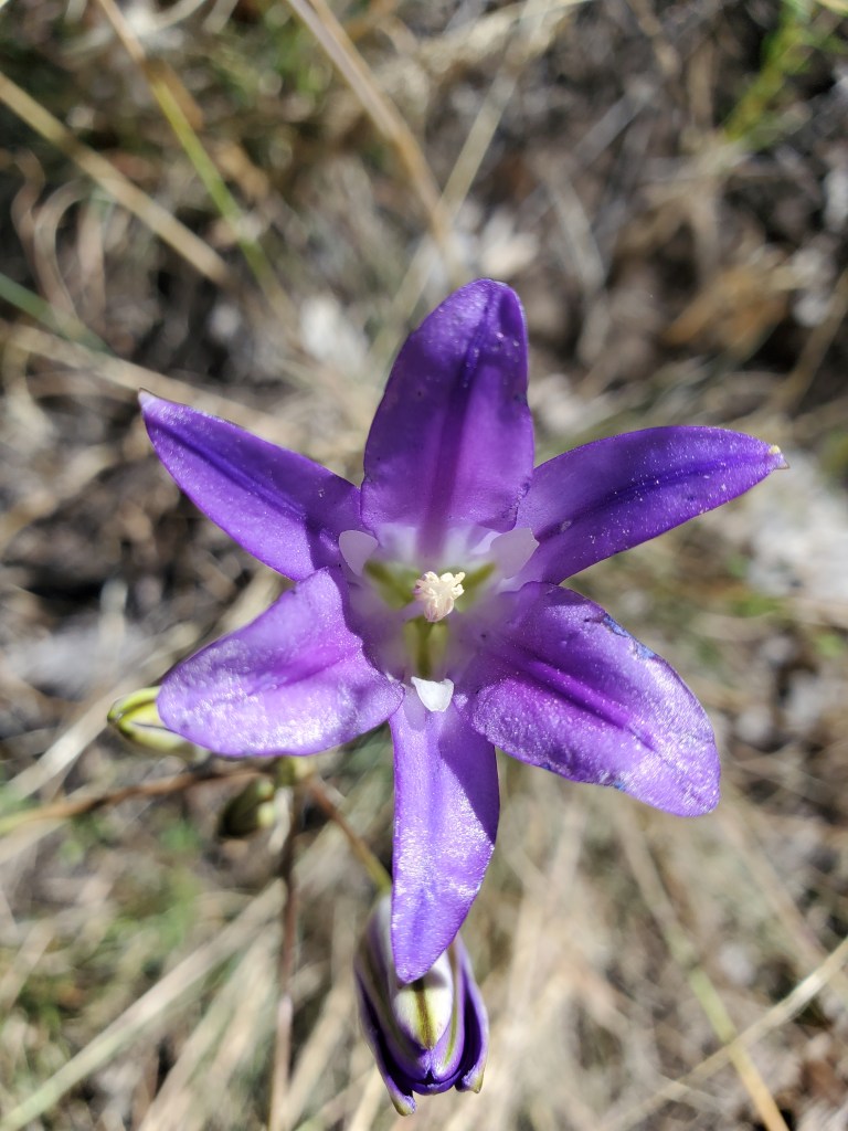
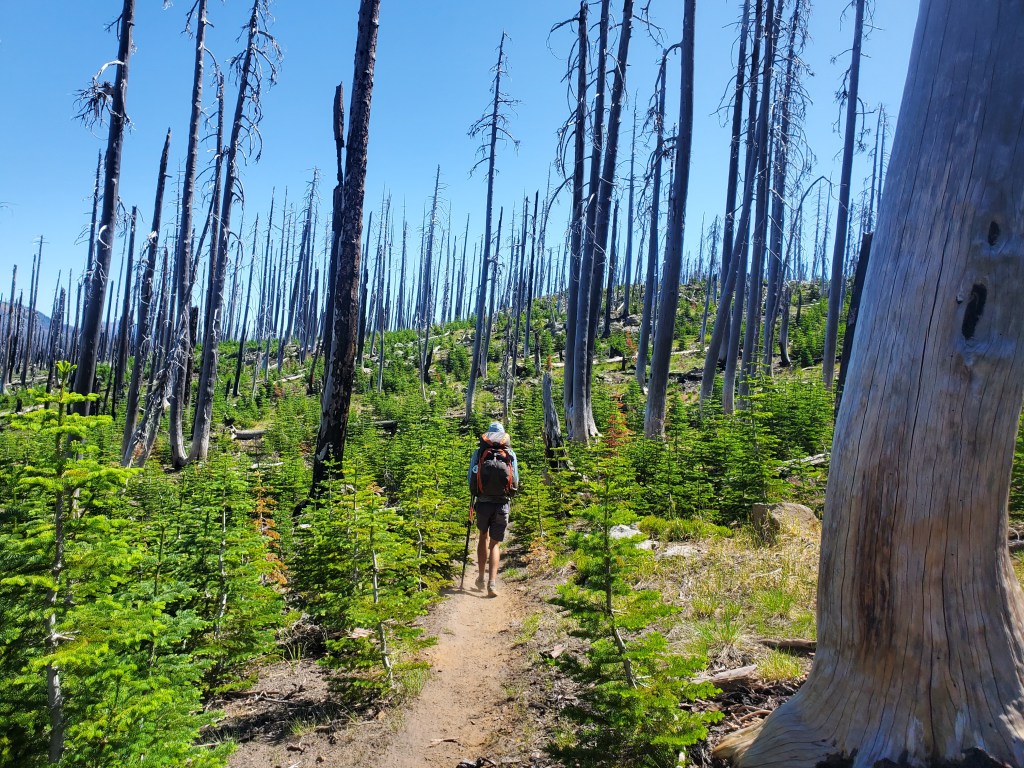
We each grabbed water, 4L each for the remaining 20 miles, one of the longer dry stretches in quite a while. A small climb away from the wetter lowlands got us out of mosquito country. After a few miles of forest, we entered burn scars from 2008 and 2017. It wasn’t totally devoid of life, grasses and wild flowers blanketed the ground. The fir trees were growing back in dense thickets in some places. We stopped for lunch under some unburned lodge pole pines.

We made it to Crater Lake National Park boundary and got through the end of the burn. We entered predominantly hemlock forest. As we got closer to the heart of the park, the hemlocks grew taller and thicker, certainly some of the most magnificent mountain hemlocks on the trail. I was filled with wonder and joy as we sauntered through this forest.
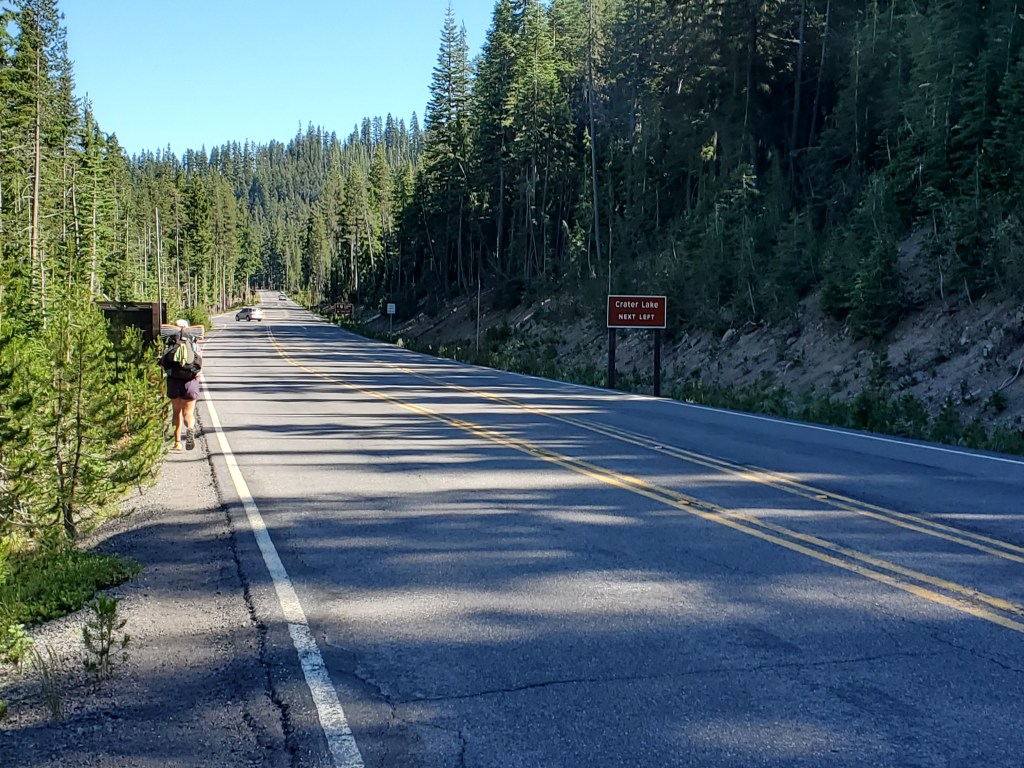
Maggie and I got to Hwy 62 and walked about half a mile on the road to Mazama Village. We picked up some cold drinks and our resupply packages. We asked the folks (concessionaires, not the NPS) running the campground how to go about camping here, to which they responded, “We don’t even monitor PCT hikers, just go find a spot in the trees.” Very well then. We wandered into the PCT camp next to the larger developed campground. There were tons of hikers, easily 50+. It felt more like a music festival than a national park. Tents were packed in shoulder to shoulder, but the trees at least provided some separation and privacy. Maggie and I went back to the village for dinner with Bennet and Burrito-with-a-J. We enjoyed our last meal together, since we were slowing down for a side trip to Corvallis, and they were speeding up. We said our farewells and stumbled back to camp. Showered at the campground, sans towel… After organizing our resupply packages we passed out around 10:30 pm, eager to see Crater Lake the next day.
