You never know what is around the next bend on the Pacific Crest Trail. With less than 100 miles to go, Maggie and I were eager to reach the Canadian Border, the northern terminus of the PCT. We were feeling the fatigue from five months of hiking, but we knew we could finish the journey. Mother nature had other plans, and we were compelled to follow her lead…
Day 158 – 9 miles/2572 (9/3/22)
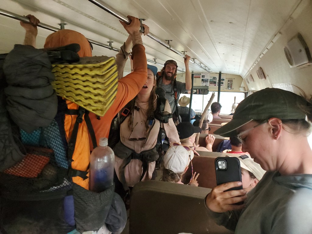
Maggie and I woke up by Agnes Creek at 6 am to a dim, hazy morning. It smelled like campfire, or like waking up inside a slab of bacon. We were moving by 8 am, and the easy grade following the creek allowed us to move quickly. We wanted to make sure we caught the shuttle into Stehekin at 12:30, as did several hikers around us, so everyone was moving fast.
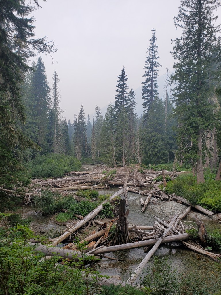
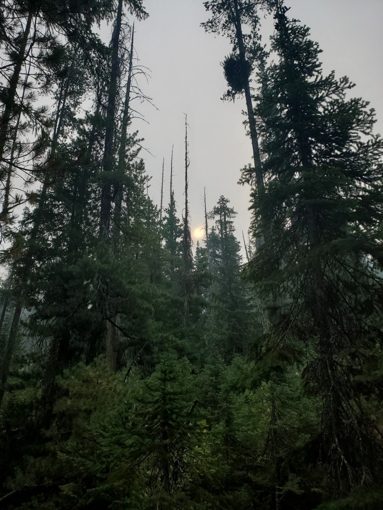
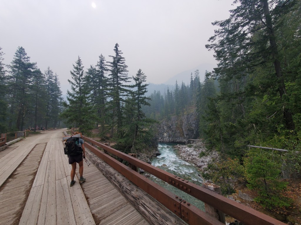
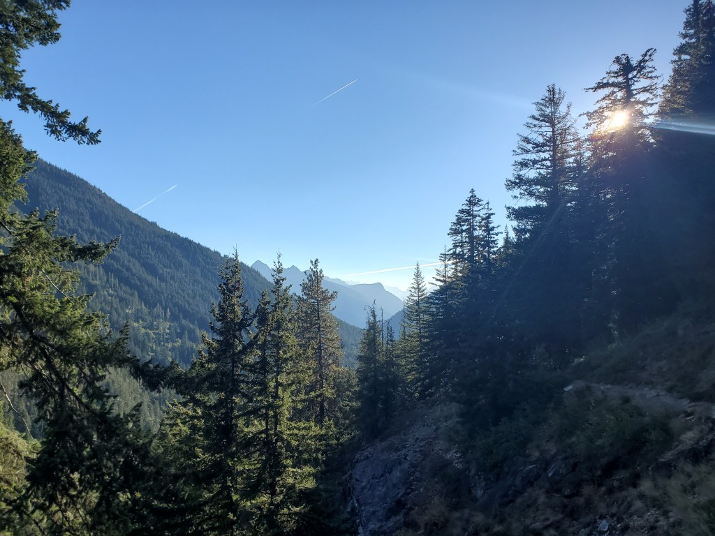
The smoke was full on. The ridges on either side of the valley were hard to discern, and the haze was visible between trees just a few hundred feet away. The sun was a pale orange shell of itself, we could look straight at it without wincing.

The amount of smoke in the air was frankly disconcerting. Not having cell service for the last 5 days, we weren’t totally sure what was going on with wildfires. It didn’t necessarily seem like a fire was close by, but it felt like we were getting closer to the source.
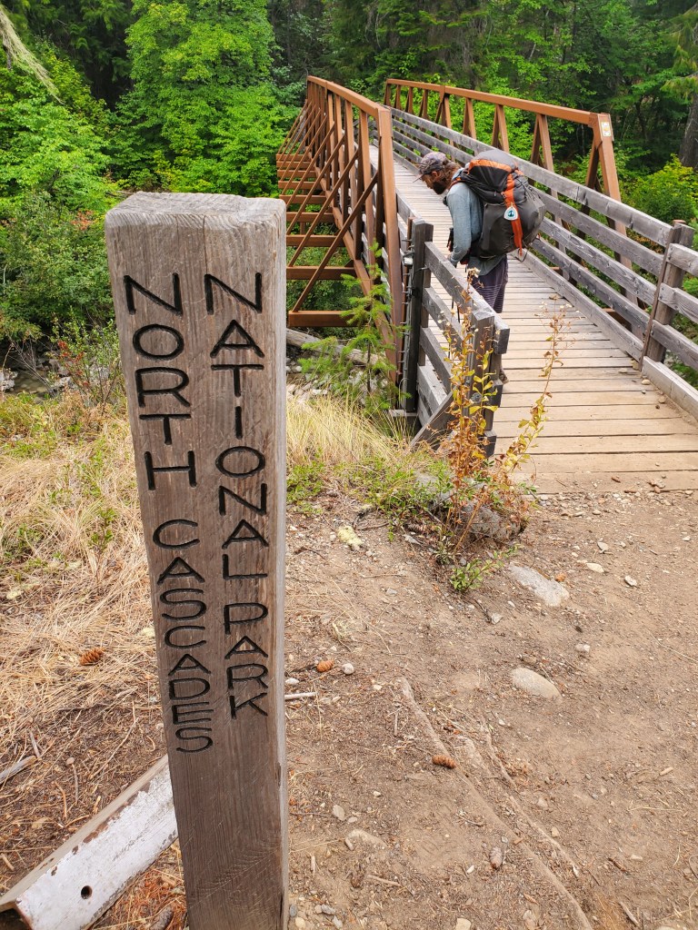
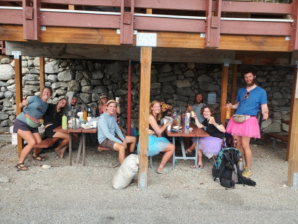
We finished our little 9 mile hike at High Bridge Cabin on the edge of North Cascades National Park. Three hikers we had been seeing, Dusty, Star Boy, and Runaway, were sitting at the picnic table when we arrived. They looked at us sheepishly, lacking the typical joy a hiker has before a town day. “Should we tell you the news? Or do you want to find out for yourselves..?”, they asked, pointing towards the bulletin board. We read the freshly laminated page pinned to the bottom:
Lightning fires near Canadian border
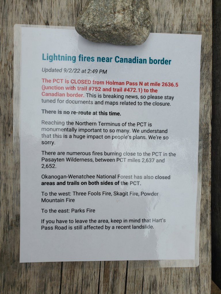
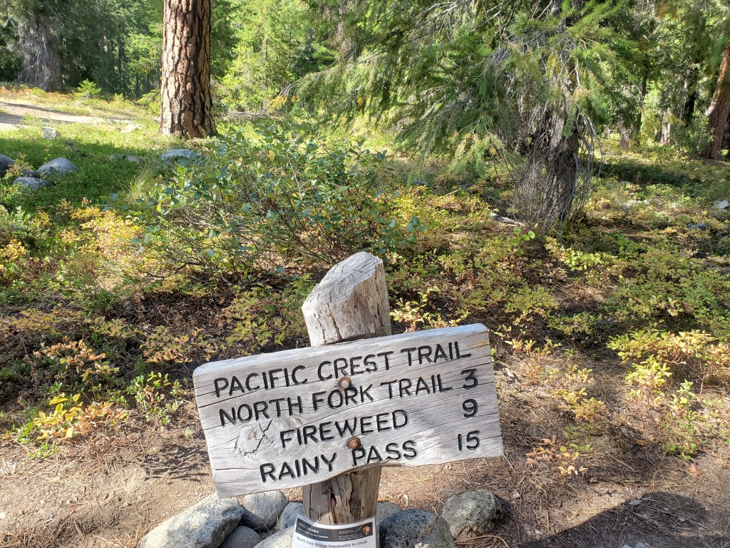
The northern most 15 miles of the PCT were closed. A mix of thoughts and emotions raced through my mind. Relief. Disappointment. Contentment. Sadness. Realistically, we would not be able to tag the northern terminus this year. There was no reroute or any reasonable trail to take to the border. We sat at the picnic table and began feasting on the last bits of food we had while we waited for the bus. A park volunteer, Stan, came out from the cabin to answer some questions. He believed the fires would be out once 2 feet of snow was on the ground, and I believed Stan.
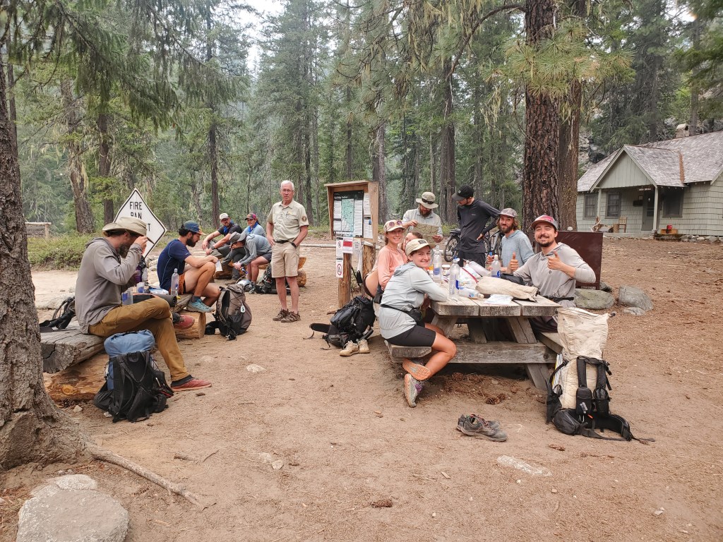
Several of our friends at the picnic table were having an existential crisis, while I was starting to feel solace in knowing the hike was essentially done. Several more hikers filed in. Some knew already from friends messaging them, some learned for the first time like us. Everyone’s reactions were different. Most folks were fairly upset and trying to figure out what to do from here. The shuttle bus came promptly at 12:30. We all loaded up, a mix of PCT hikers and resort tourists.
I was filled with happiness standing on that bus, almost to the point of tearing up with joy. I looked around at all the dirty hikers laughing and smiling. I knew what they had been through to get here – all the struggle, all the hills, all the river crossings, all the funky towns and all the views. Even though it felt like it was all over, I felt an immense sense of pride, and I felt proud for my hiker friends, for all that we had accomplished. Did we hike every mile of the PCT? No. Were we trail hardened thru hikers? Absolutely.

Maggie and I got off at The Bakery, a place we had heard legends about. The food and the cupcakes were amazing. We ate with glee, relief from trail food… We walked the remaining 2 miles to town. Along the way, we stopped by The Garden, a local farm stand. We walked down the avenue of Dahlias, admiring the vegetables growing all around.


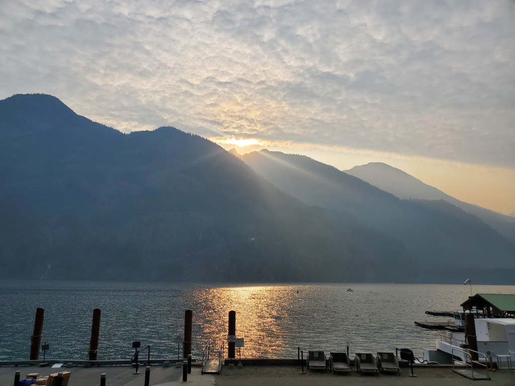
We rung the bell for the farmer, and an older man appeared from… somewhere? His weathered face and bare feet gave me confidence he had been tending this garden for many years. We asked for some carrots, and the farmer responded, “Let me go pull those from the ground for ya.” Where were we? It felt like some kind of fairy tale. We continued walking along the shore of Lake Chelan, a 50 mile long lake in northern Washington. Sadly, smoke still dominated the view.
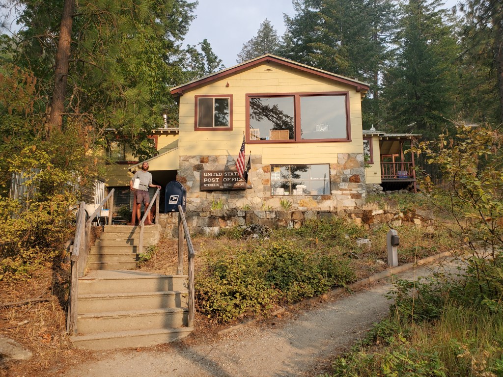
We arrived at the Stehekin general store and bought some beer to ease our minds. Maggie and I sat with some hikers and commiserated over our situation. We picked up our resupply boxes at the post office, then set up camp at the local campground, which was packed with PCT hiker tents.
Back down at the store picnic tables, many more hikers had joined the hang out, and the lot of us nearly cleaned out the beer fridge, then the wine too. We all decided to go skinny dipping after dark, which felt like a fitting “last hurrah”. Maggie and I stumbled up to camp, crowded with hikers and we passed out.
Day 159 – 0 miles/2572 (9/4/22)
With no where to be, and raging hangovers, we were in no rush to get out of camp. Most folks had packed up and left by the time we got out of the tent. We talked about a plan for the next few days over breakfast. We packed up around 11 am and wandered back down the hill to the general store.

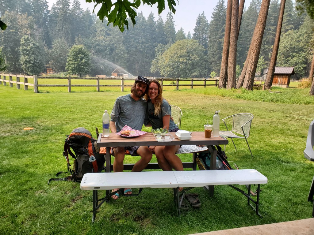
There is no cell service in Stehekin, and we needed to get in touch with friends to help us get off the trail. I had a friend from college, Dylan, who lives in Bellingham. He agreed to meet us and take us back to civilization when we were done hiking. With Dylan’s work schedule, we decided we would try to hitch west on Hwy 20 to get closer to him. We also had a friend from Connecticut, Tony, who had moved to the Seattle area a few years ago. Tony had agreed to host us before flying out of Seattle. It’s good to have friends in high (latitude) places. I paid for access to wifi and informed our friends and family of the change in plans. We booked a flight to Denver. It was happening. The end was in sight. We ran into Sourpatch and Hotdish, and we chatted for a bit about the state of things. Maggie and I walked back to the bakery for lunch, and the food was even better than the day before. We unraveled a large cinnamon roll for dessert, sticky, sweet, and doughy, it was absolute perfection. We both probably could have fallen asleep on the lawn, but we combatted the food coma by walking back to the store.

We hung out with Sourpatch and Hotdish for a while, then they took the shuttle to the Harlequin Campground up the road. The couple we met going into Leavenworth, Merman and ID, came up and sat with us. Everyone was asking, “What are you gonna do..?” We were all in agreement about ending at Rainy Pass. Merman and ID were heading for Bellingham after the trail as well, so we made vague plans to meet up there. After chatting for a while, Maggie and I caught the shuttle bus to Harlequin Campground. More bus loads of hikers had been coming in all day, so we wanted to escape to a quieter corner of the woods.
We crossed the Stehekin river, wandered through the sandy campground and to find Sourpatch and Hotdish. They graciously let us set up next to their spot, since the campground was otherwise full. We carried on with our normal routine of cooking dinner in our tiny pots and crawling into the tent at bed time. This wouldn’t be the routine much longer…
Day 160 – 12 miles/2584 (9/5/22)
Only 20 miles remained between us and Rainy Pass, a distance we could easily cover in one day. However, it didn’t make sense to hike all day and try to hitch late, so we decided to take it easy. Maggie and I enjoyed a leisurely breakfast with Sourpatch and Hotdish. We talked about plans, and since they wanted to keep hiking, they would be heading for a section of the Continental Divide Trail in southern Colorado. It might work out for us to help them at a later date in that neck of the woods…
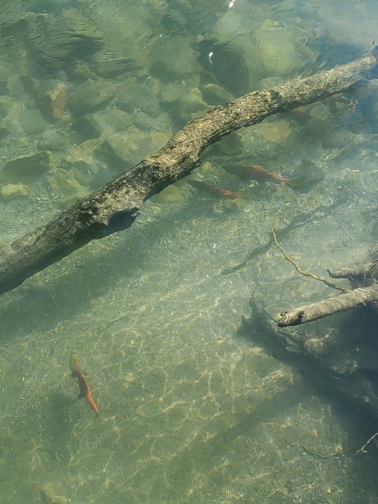
Sourpatch and Hotdish packed up, we said our farewells, and they took the boat out of Stehekin later that day. Maggie and I milled around some more, admiring the salmon swimming the crytal clear Stehekin River.
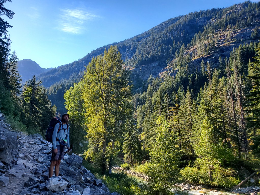
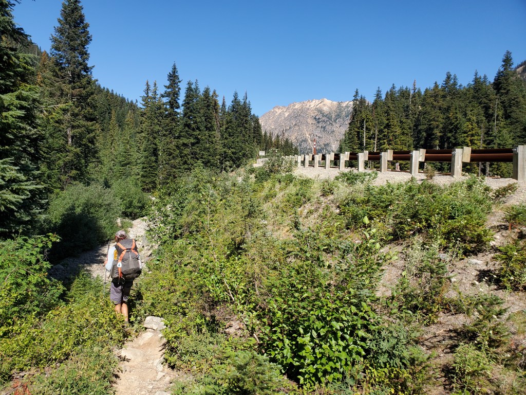
We packed up and got on the shuttle back to High Bridge Cabin. The only other people on the shuttle were our friends Merman and ID! There was a small sense of comfort that we would be setting off with familiar faces here on our last full day on trail. We got dropped off at the PCT, bright sun and clear skies welcoming us back to our hike.
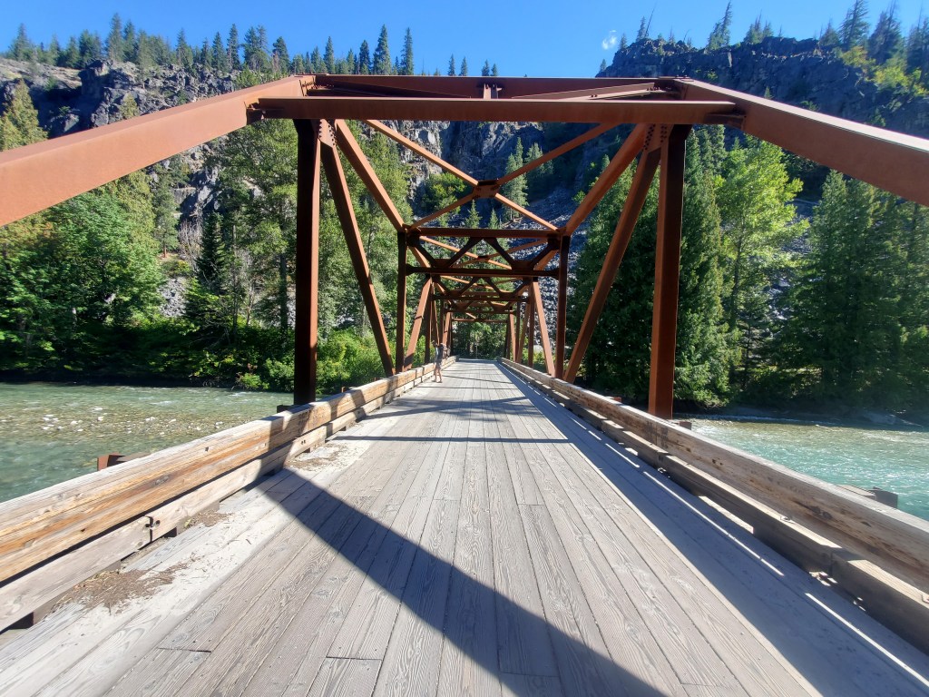
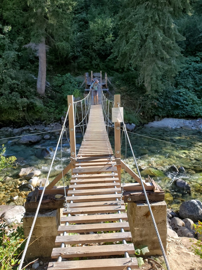
Knowing that our time left on trail was severely limited, I looked upon this humble valley in the North Cascades, appreciating the relatively banal scenery. A few shaky little suspension bridges along the way spiced up the hike.
Maggie and I were playing leapfrog with Merman and ID, and we all stopped at a picnic table 6 miles in. We reflected on our trip, sharing stories of all the places we had been and all the interesting people we had met. In a massive coincidence, someone had arranged a bundle sticks, bark, and lichen to look like a mermaid on the ground, and Merman was stoked! We hiked on for a couple more hours through Washington’s coniferous forests to Six Mile Camp. A handful of hikers were already set up, and a handful more came in later. We ate dinner with Merman and ID, treating ourselves to the finest freeze dried meals.
Day 161 – 8 miles/2592 (9/6/22)
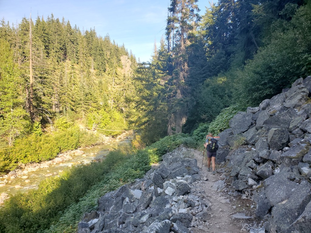
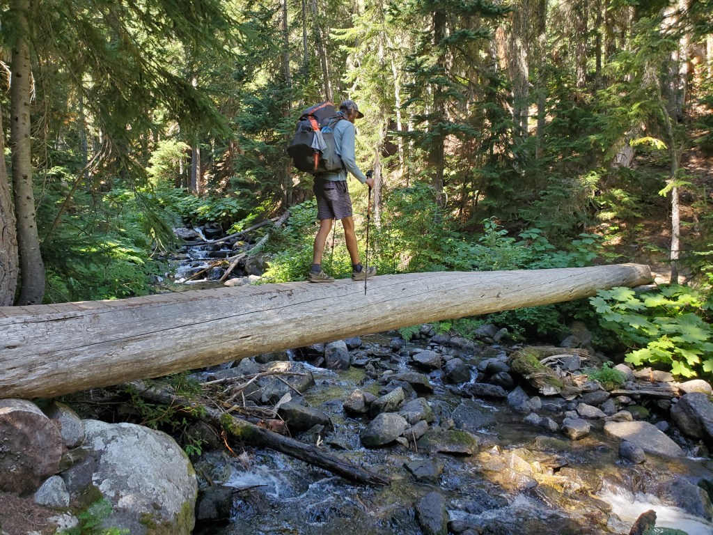
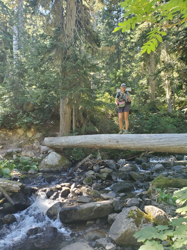
The last day on trail. We were in no hurry to pack up. It was starting to feel final. While I was initially relieved to be done hiking, I was now feeling a bit morose. The trail had brought me so much happiness, so many new experiences, and all with an epic, ever-changing backdrop. Only two and half hours remained. We were on trail around 9:30 am, mostly hiking through the woods. Established log bridges took us over the wider creek crossings.
Maggie and I didn’t talk too much, it was business as usual, just with the undertone of knowing our terminus was at the top of the hill. We passed section hikers coming the opposite direction, and they congratulated us on our hike. The sound of speeding cars began to fill the air, growing louder as we hiked on.
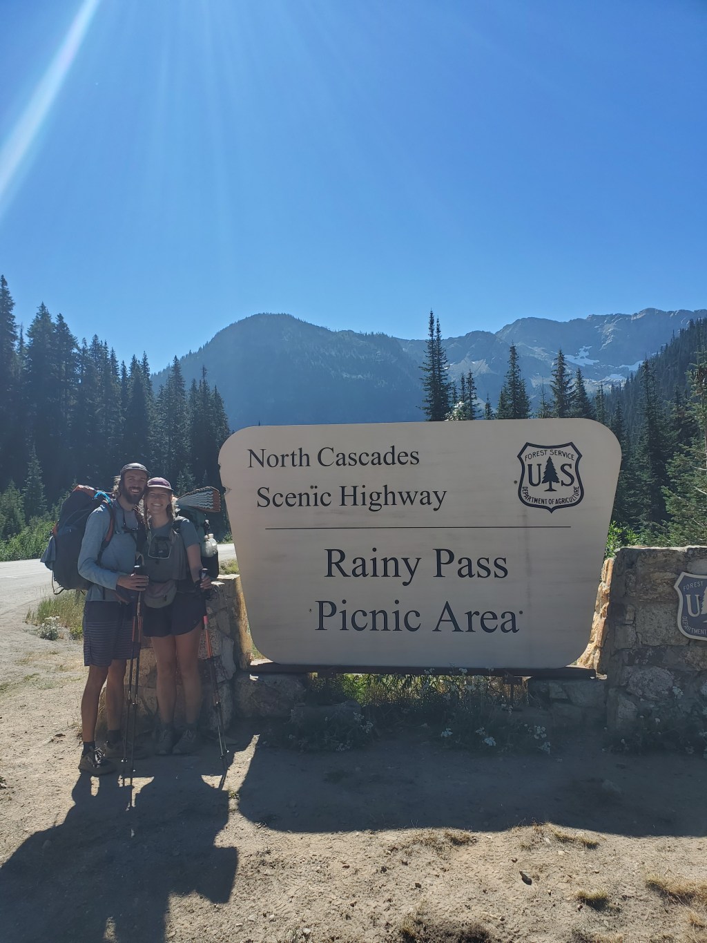
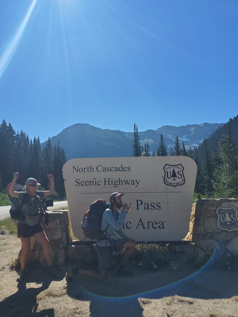
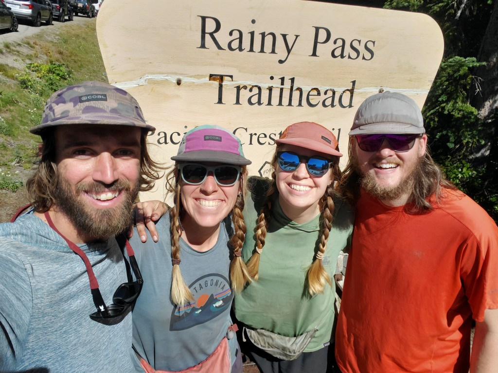
We reached Highway 20, Rainy Pass, the final footsteps. Maggie and I posed for pictures with the Rainy Pass sign. Merman and ID lent us some whiskey to celebrate.
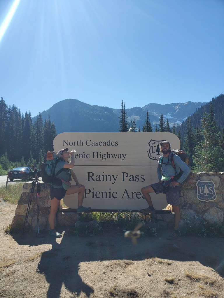
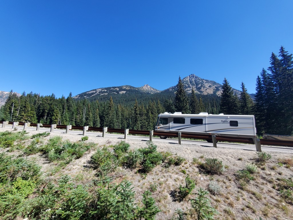
Across the highway and we started doing what we usually do at highways – hitch hike. Despite the steady traffic, no one was stopping for quite a while. I’m not too surprised, since this would be a 2.5 hour hitch. Another hiker, Rosy, came over and her mom had brought tiny bottles of champagne. Maggie and I imbibed while we waited for a ride.
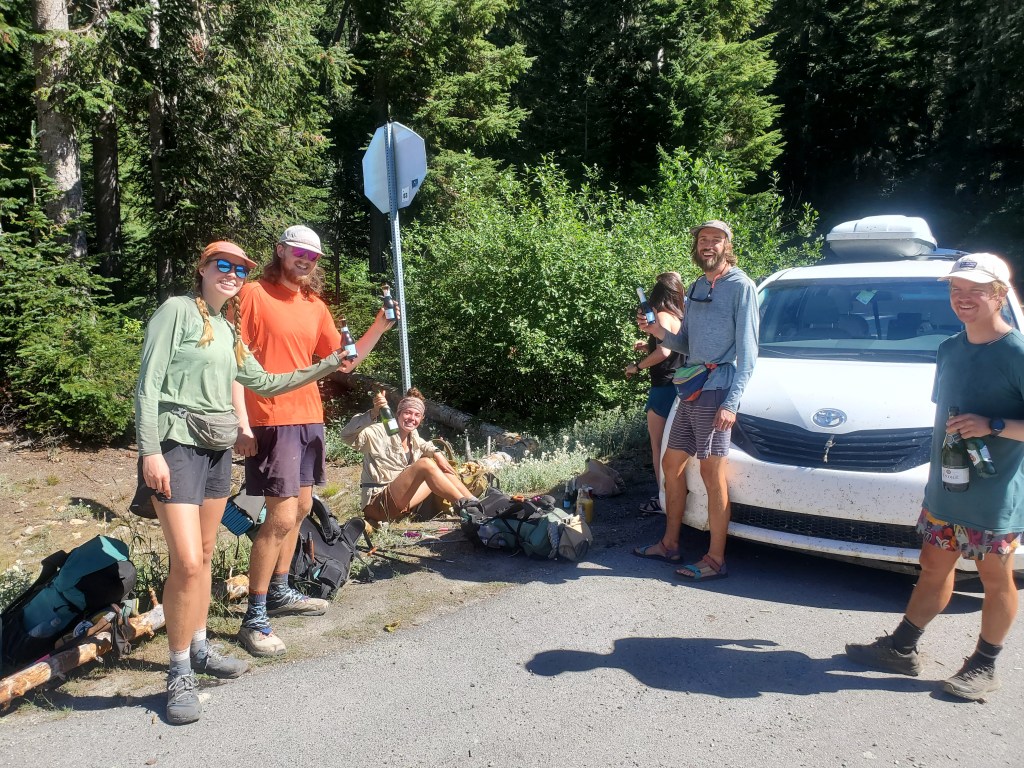
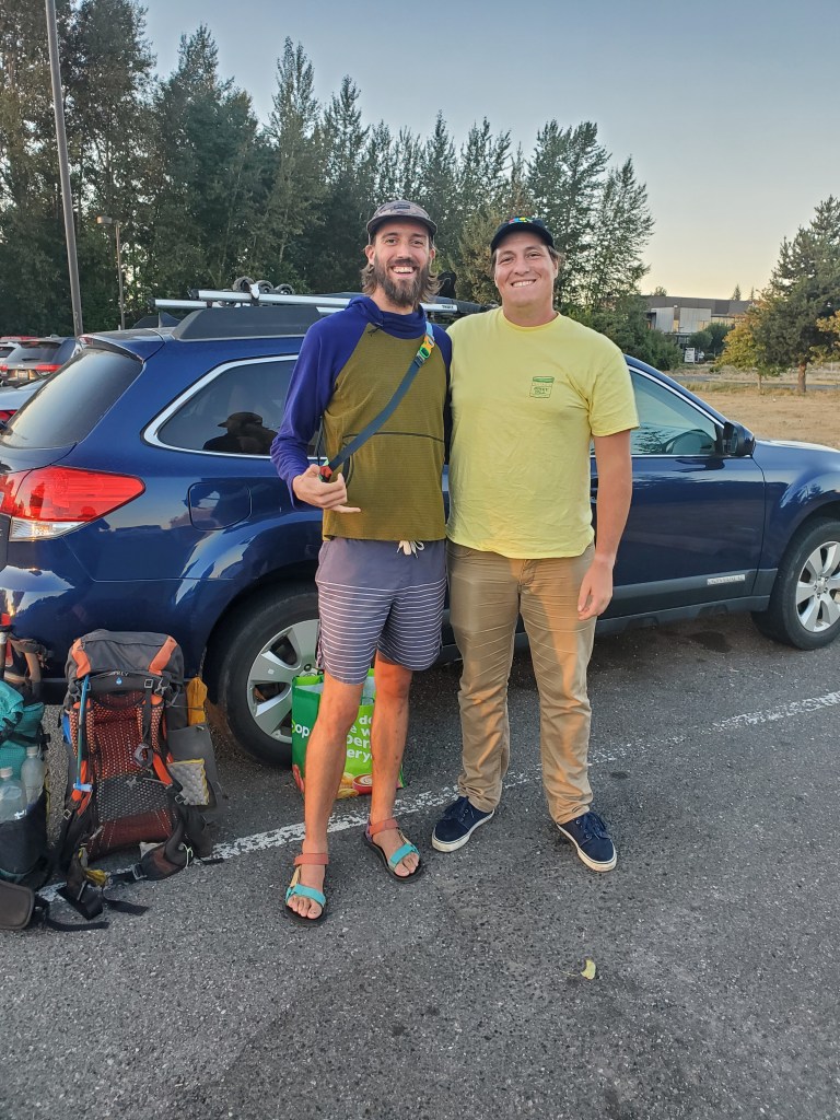
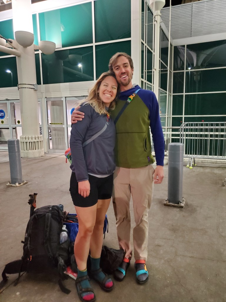
Merman and ID got a ride with another hiker and his family. Just a minute later, a Subaru Outback pulled over for us. A young blonde gal hopped out, offered us a ride, and she started rearranging her belongings in the trunk to make room for our packs. Our driver’s name was Jenny. “I want to hear about what you’ve been doing,” she said. Jenny had been out backpacking the northern most section of the PCT with her friends for a few days, and she was intrigued by the idea of thru hiking. We chatted the whole two hours down to Sedro-Wolley. Jenny had been living in Bellingham, and it turns out she knew my friend, Dylan, through ultimate frisbee. What a small world! Jenny dropped us off at Dairy Queen in Sedro-Wolley. Before long, Dylan met us inside, slowly approaching to make sure he found the right people. We had last seen each other 9 years ago, which was entirely too long. It was great to catch up with an old friend.
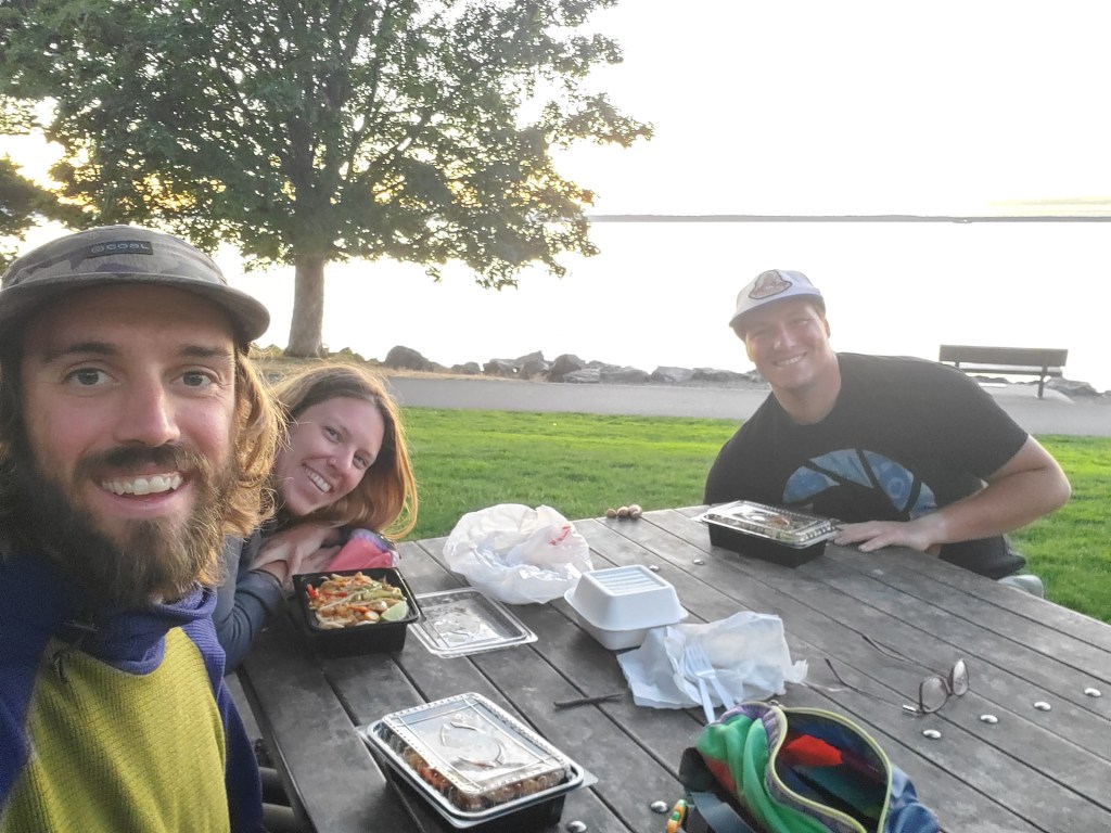
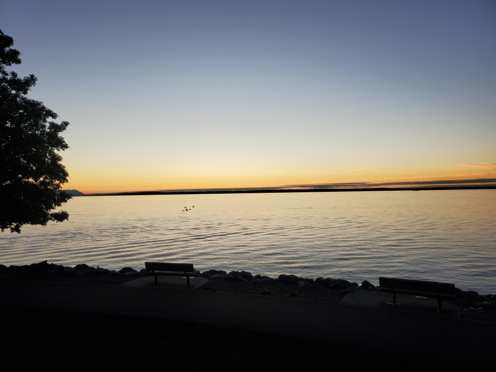
We rode up to Bellingham with Dylan. After showering, we picked up some Thai food and ate on Bellingham bay. An electric orange sunset lit up the sky and still bay. Here, now, the sun was setting on our adventure…
September 7th
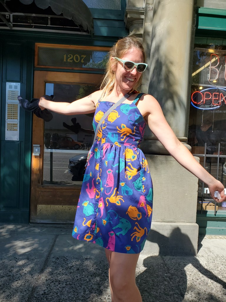
Maggie and I wandered around Bellingham while Dylan was at work. In search of something more comfortable to wear, Maggie found a monkey dress at a second hand store.
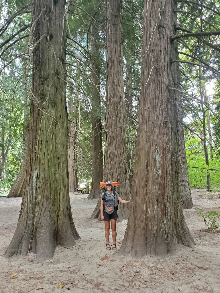
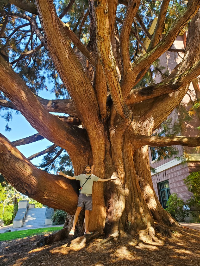
We walked through Western Washington University, where we found the largest ornamental Giant Sequoia I’ve ever seen.
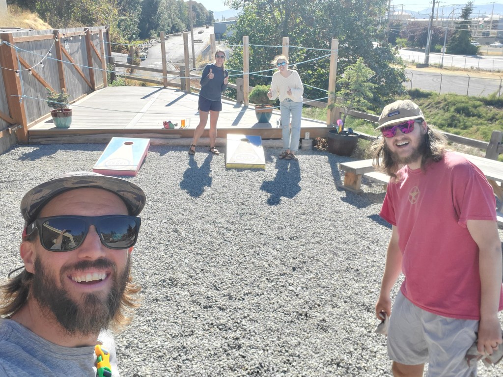
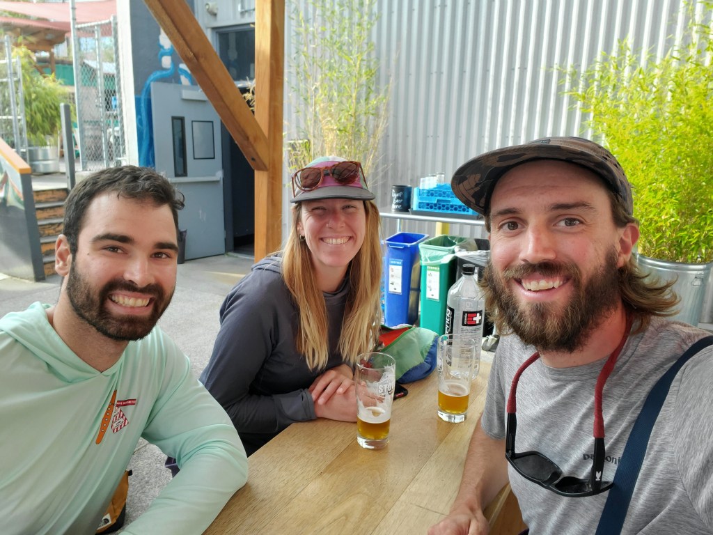
We met up with Merman and ID for beers and cornhole.
Dylan gave us a ride half way to Seattle. Maggie and I thanked Dylan, and we agreed to not wait another nine years meet up again. We met Tony to stay with him for a couple nights.
September 8th
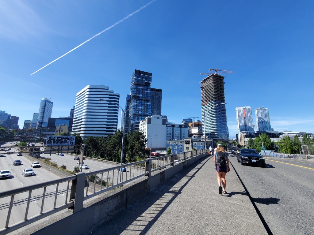
Seattle day. After breakfast, Tony took us downtown while he went to physical therapy. The noise and the chaos downtown was entirely too much for us after five months of consistent peace and quiet…
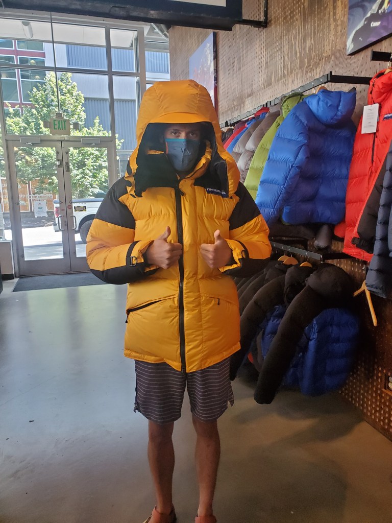
Maggie and I walked a mile or so to REI, the flagship store. Tony caught up to us, and we walked across the street to Feathered Friends, a down gear specialist.
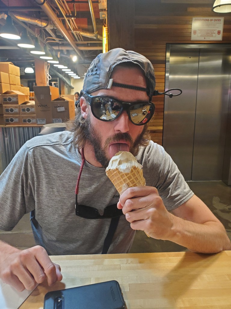
We wandered around Pike’s Place, a maze of vendors and artists. Naturally we got poke bowls and ice cream.
We made our way over to a neighborhood north of downtown for some beers with Tony and his friends.
September 9th
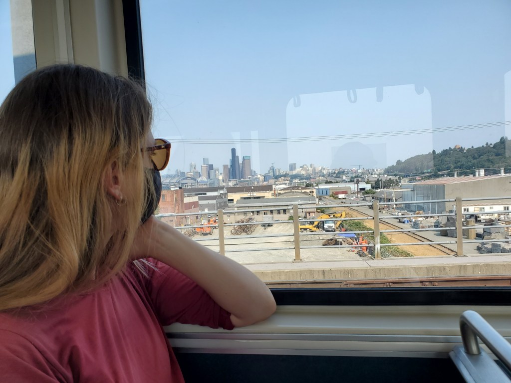
We thanked Tony for hosting us before he left for work. Maggie and I packed up and got breakfast in town. We took a bus and the metro straight to the SeaTac Airport.
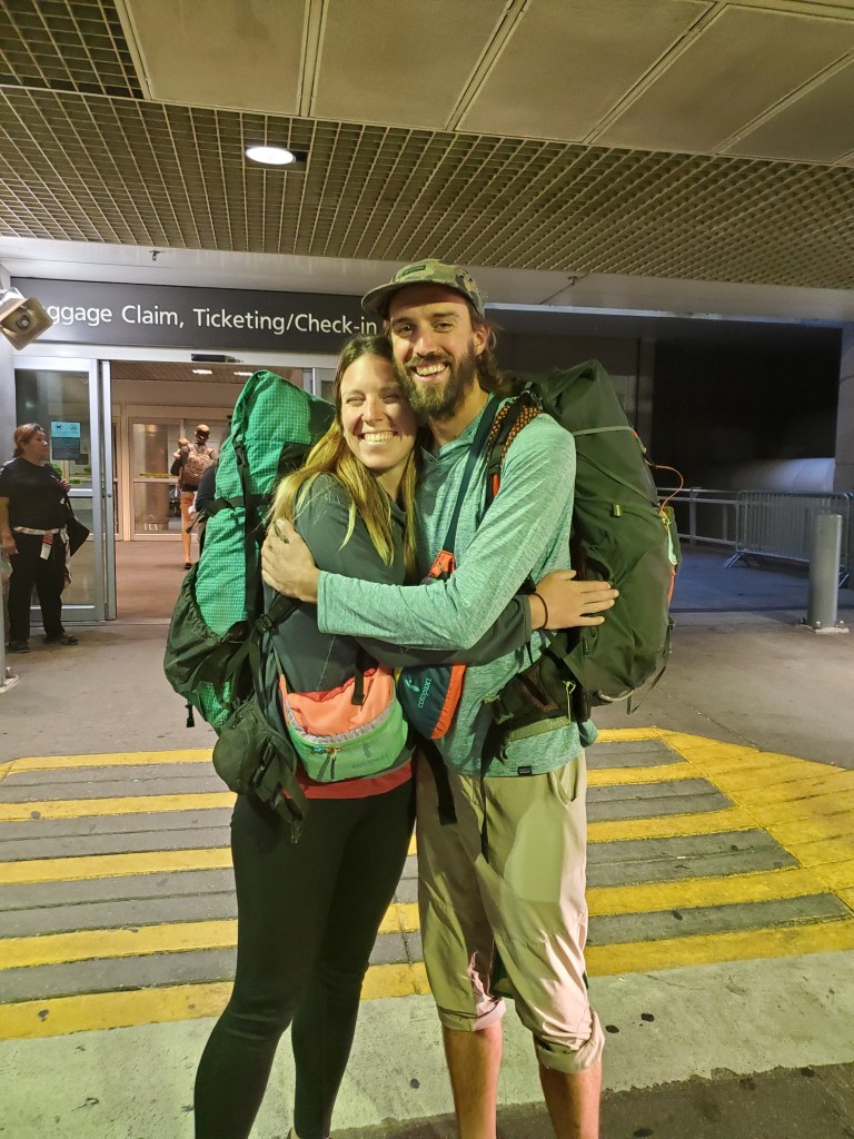
Our flight to Denver went by without a hitch. However, Maggie had been feeling sick the last couple days, and now I was starting to feel it too… We got our packs at baggage claim and my mom picked us up.
After and before
And that was it. We were back were we started. The terminus of our trail.
