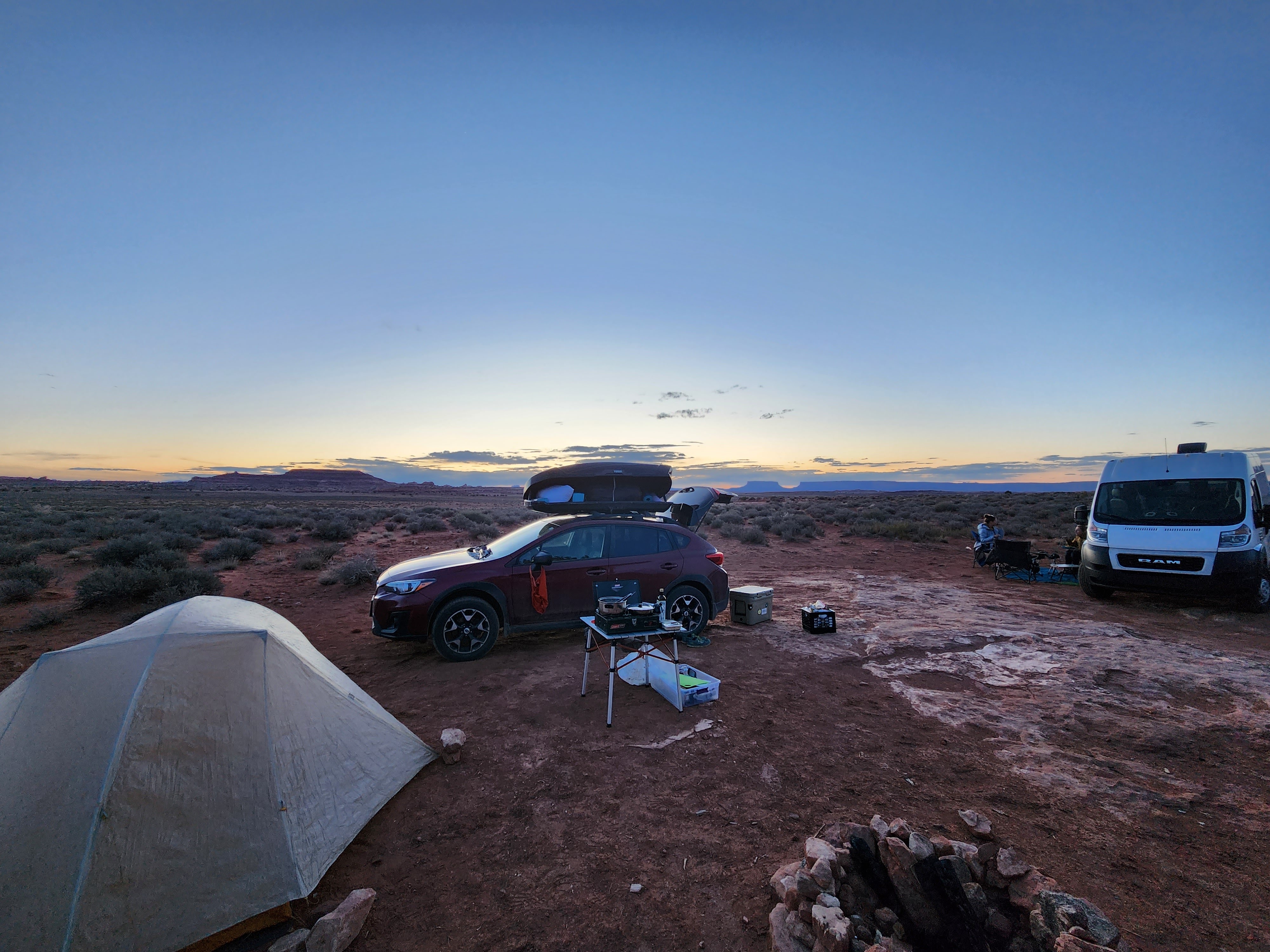
In our down time this past spring, Maggie and I decided to sign up for a Wilderness First Responder (WFR, or “woofer“) course. Maggie needed to renew her WFR certification ahead of starting a ranger position with the National Park Service, and I had been thinking about taking the course for quite some time. When we looked up available options, the best choice for us was in mid-April, and it would be taught near Moab, UT, just outside of the Needles District of Canyonlands National Park to be precise.

I must say, there are few places I have visited which continually draw me in like the sandstone desert around Moab. Before the internet was much of a thing, my mom had stumbled upon Moab looking at books in REI around the year 2000. Hiking, mountain biking, and arches? A limitless outdoor playground for kids. Word spread between our neighborhood friends. Come spring break 2001, a convoy of four families made the road trip from Denver to Moab for an unforgettable week of fun in the desert.
What started as a little spring break adventure turned into tradition. We wound up going back to the Moab area for five consecutive spring breaks. The couple of years we didn’t go to Moab felt wrong, and we inevitably returned well into the 2010’s. As I grew from an adolescent into a car-driving adult, I began making my own trips to Moab in college. In 2015, my brother had his bachelor party on canoes, floating through Canyonlands NP on the Colorado River for three days. When I mentioned this to a friend of mine, he insisted on doing the same trip in 2021. Friends, which Maggie and I met in New Mexico, invited us to go canyoneering later that year, which was Maggie’s first experience surfing the seas of sandstone. With more than a dozen trips under my belt, tons of wonderful memories have been made with so many friends here!
All this to say, it feels like Moab has an intense gravity that I can’t escape. Some orbits take longer than others, like an irregular comet flung into deep space, but I always return. At least, that’s been the pattern for last two decades…
Having done most of the hikes in the National Parks, I was intent on finding fresh views with Maggie. I’ve come a long way from days of hiking 3-8 miles in jeans, so we were looking for something bigger. In my many hours of perusing satellite imagery, I had noticed an area in the Needles District that looked totally different from the surrounding geology. Rather than the snaking, lightning bolt style canyons that carry ephemeral creeks, there are a series of very wide and mostly straight depressions in the bedrock.

Consulting the NPS website, I learned these are grabens – sets of parallel faults where a block of land slips below its neighbors. The proximity to the Colorado River made it an obvious choice to hike through the grabens then down to the mightiest thread of water in the desert southwest. It would be 21 miles round trip, so we secured a back country camping permit for an overnight vision quest (Caltopo route).
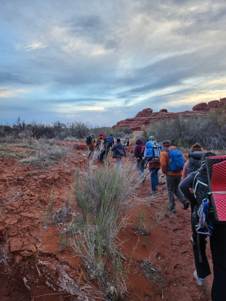
First, we sat and learned how to be WFRs for five days. It was a great class! I learned my ABCs and how to count to 30. A big part of the course is learning how to improvise with equipment on hand in the backcountry, like using trekking poles and a sleeping mat as a splint for an injured appendage. I also learned that carrying an incapacitated person, even with a team of 6, is a lot harder than you might imagine. Overall, I walked away with a new found confidence to help anyone in distress out in the wilderness.

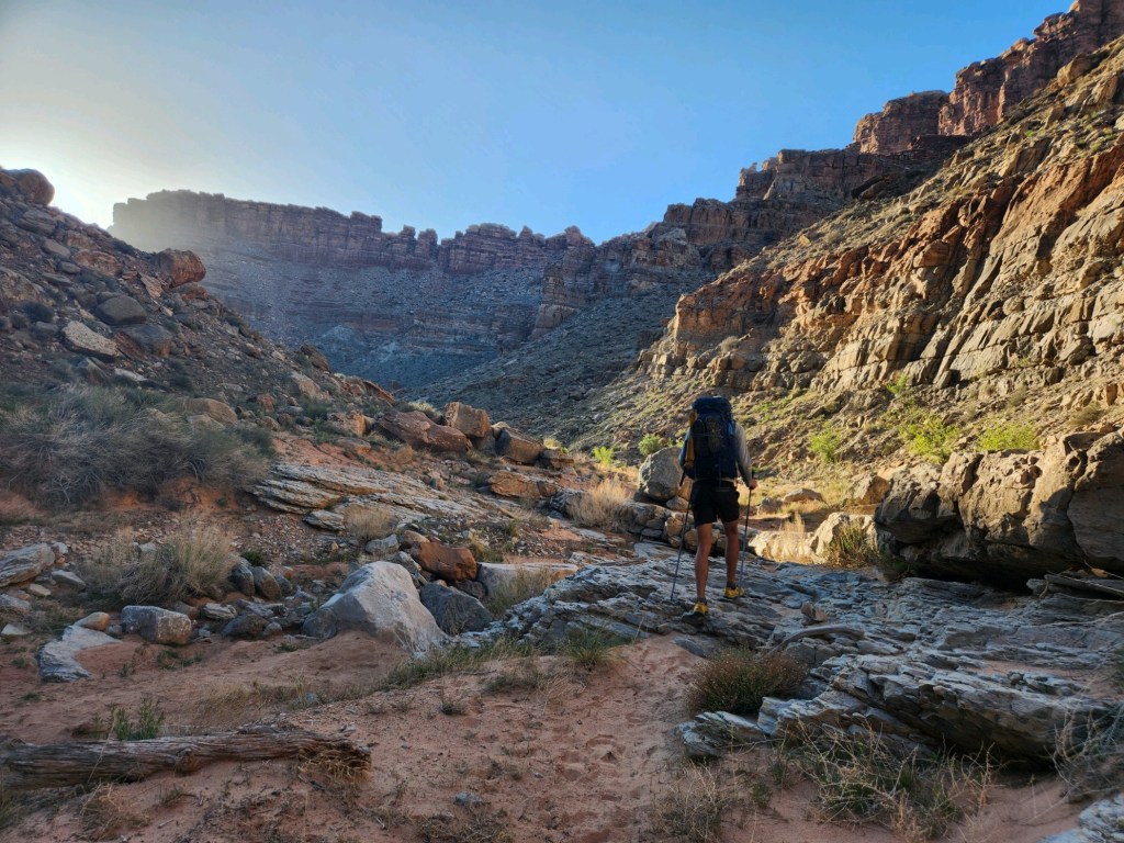
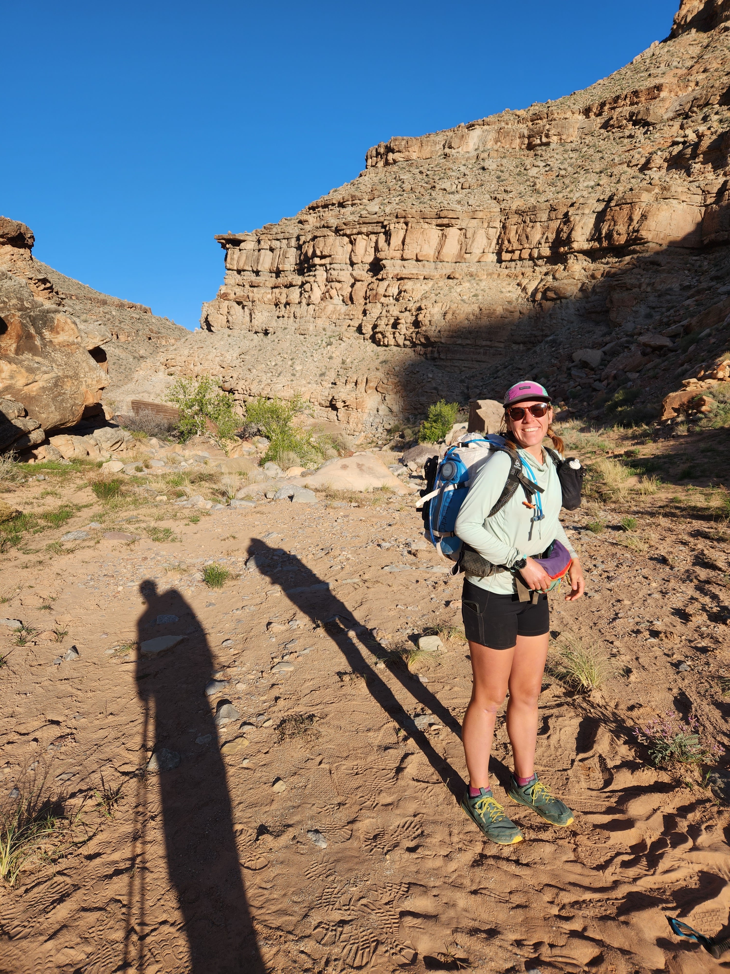
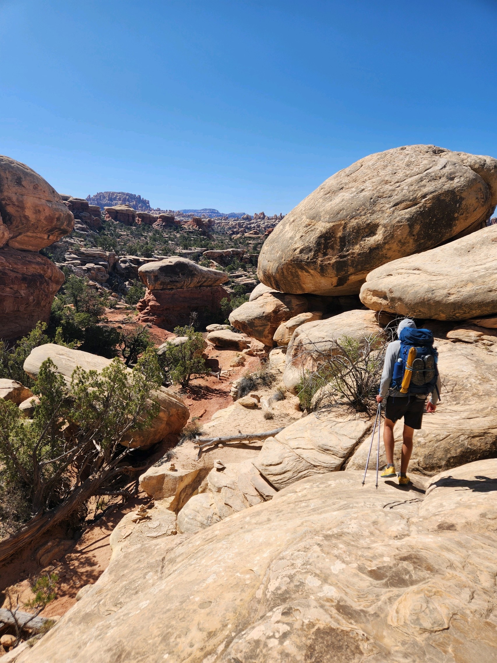
After class, the needles & grabens overnight hike was a little reward to ourselves. Once we found parking and ate lunch, Maggie and I set off from the Elephant Hill trail head. The first four miles of the route followed an off-road double track, on which them Jeep boys drive into the desert. We did see a handful of vehicles, which forced us to stop and step to the side so they could pass. I am of the opinion that this shouldn’t be allowed in a National Park. We all enjoy the outdoors in different ways, and some ways are wrong. But I digress…
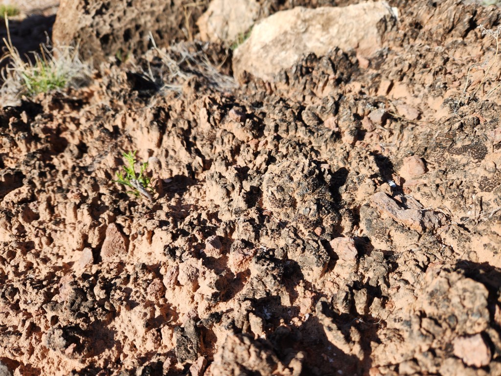
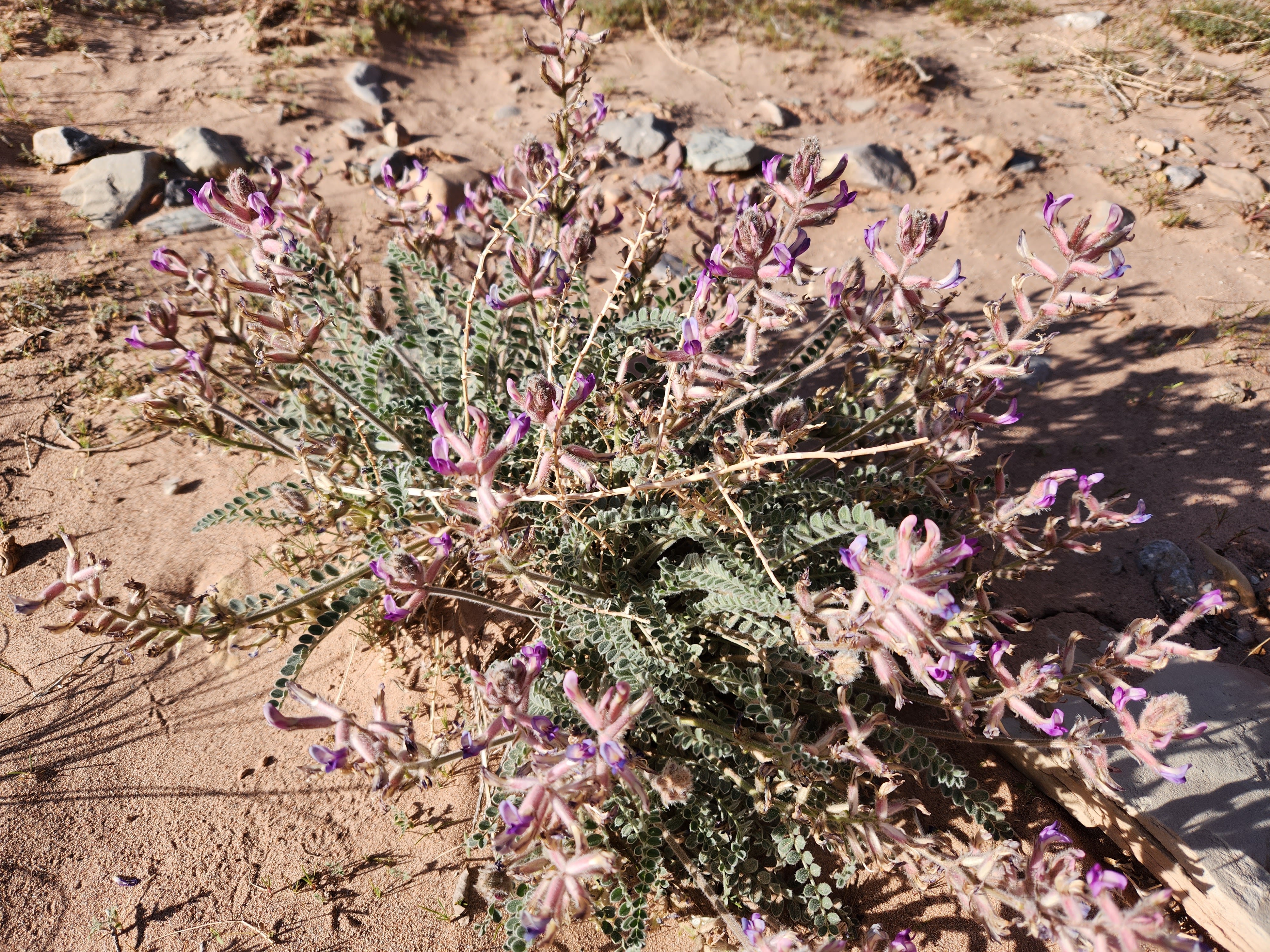
Even on the jeep road, the scenery was instantly interesting. Sandstone seems to take on endless forms – lumpy cliffs, gumdrop towers, and disheveled boulders were around every bend. In between the junipers and shrubs, the ground is rarely loose sand, but rather it it blanketed with cryptobiotic soil crusts.
Cryptobiotic soil crusts are created by living organisms such as algae, cyanobacteria, and fungi. The bacteria within the soil release a gelatinous material that binds soil particles together in a dense matrix. The result is a hardened surface layer made up of both living organisms and inorganic soil matter.
–National Park Serivce
These soil crusts literally hold the place in place, otherwise wind and water would have washed away all of the friable top soil long ago. Trampling cryptobiotic soil can damage it for decades or centuries, and so I think the Utah state flag should be changed to the classic “Don’t Tread on Me”, but with soil crust instead of a snake.
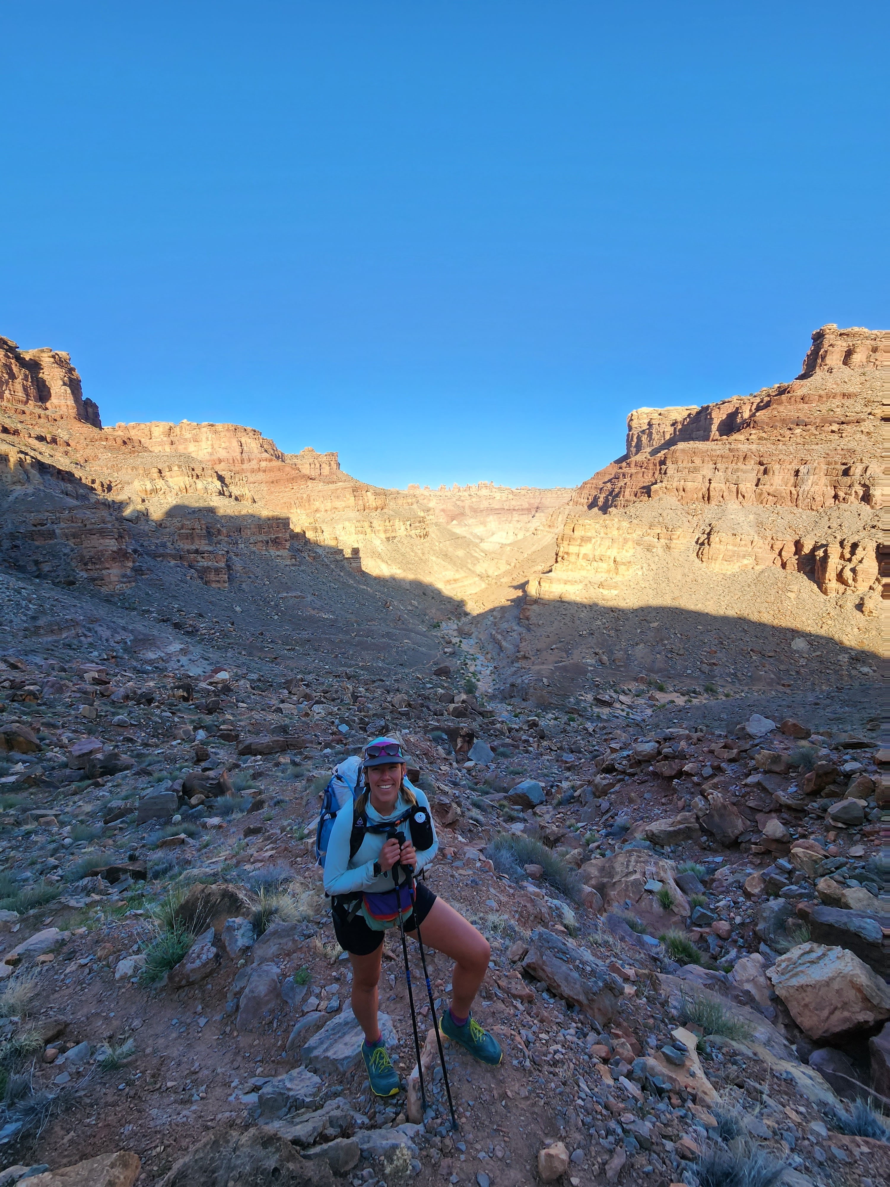
Just shy of the four mile mark, Maggie and I came upon the first graben. After passing through relatively narrow, winding canyons, the open expanse of the graben was mesmerizing. Just a straight line of cliffs on both sides of the valley. Definitely different. It was also interesting to think about how we were walking on top of the strata which makes up the top of the cliffs nearby.
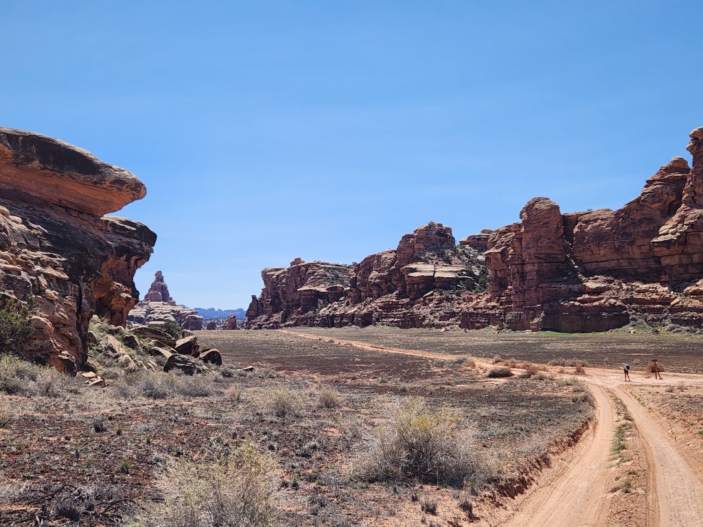

We followed the trail across the graben and climbed up a small escarpment into the cliffs. It was only 3/4 of a mile to the next graben. It’s truly bizarre to come upon such a featureless valley in an otherwise textured landscape.
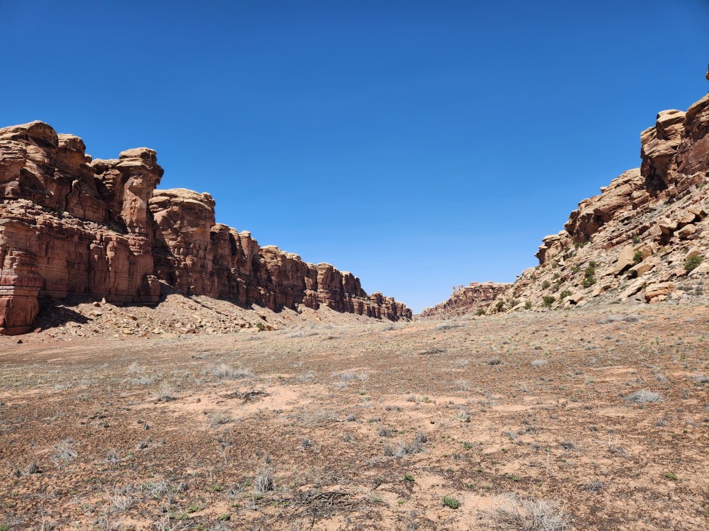

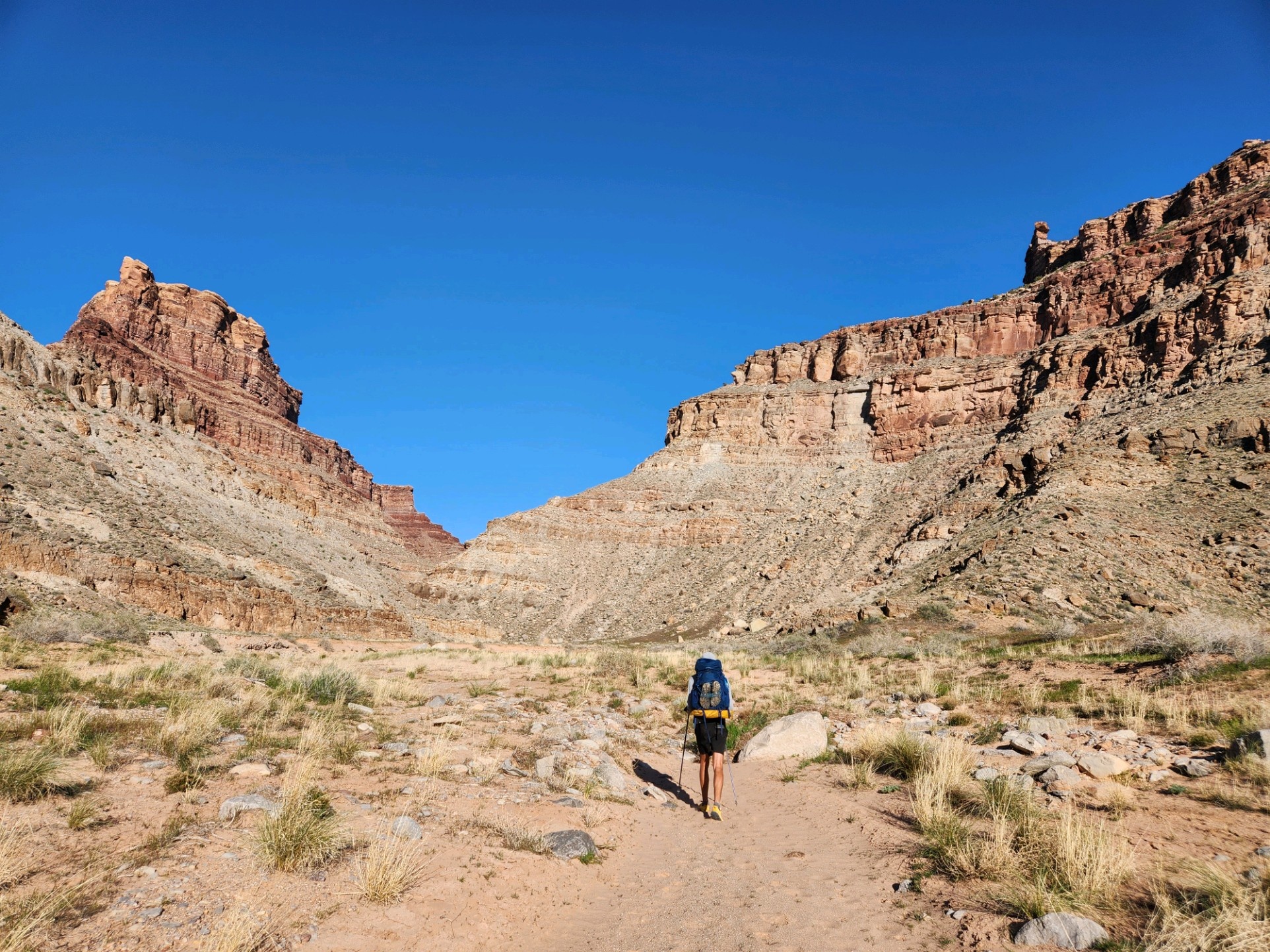
One more graben followed, then we entered Red Lake Canyon. With a thousand foot drop from the canyon rim to the wash at the bottom, and a perfect view into the Doll House formation across the Colorado River, this is definitely one of the more grandiose canyons I’ve been in around Canyonlands!

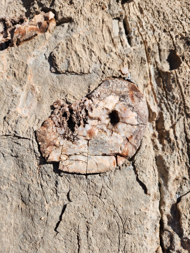
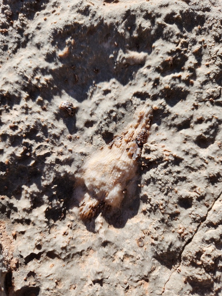
Maggie and I descended to the canyon bottom. Passing through eons of geology, we spotted some fossils in the limestone layers. Spiral mollusk shells, squirming critter tracks in ancient mud, and even some crinoid stems! Despite looking like plants, crinoids are marine animals related to starfish and sea urchins, and after 480 million years, they are still kickin’ to this day. Super cool!

Down in the wash, we enjoyed some shade as the sun waned south and west. We had seen a few groups of backpackers throughout the day, but now we were alone. The silence is striking in this part of the world, and if you listen closely, you can often hear your own heartbeat… .. .. .. ..

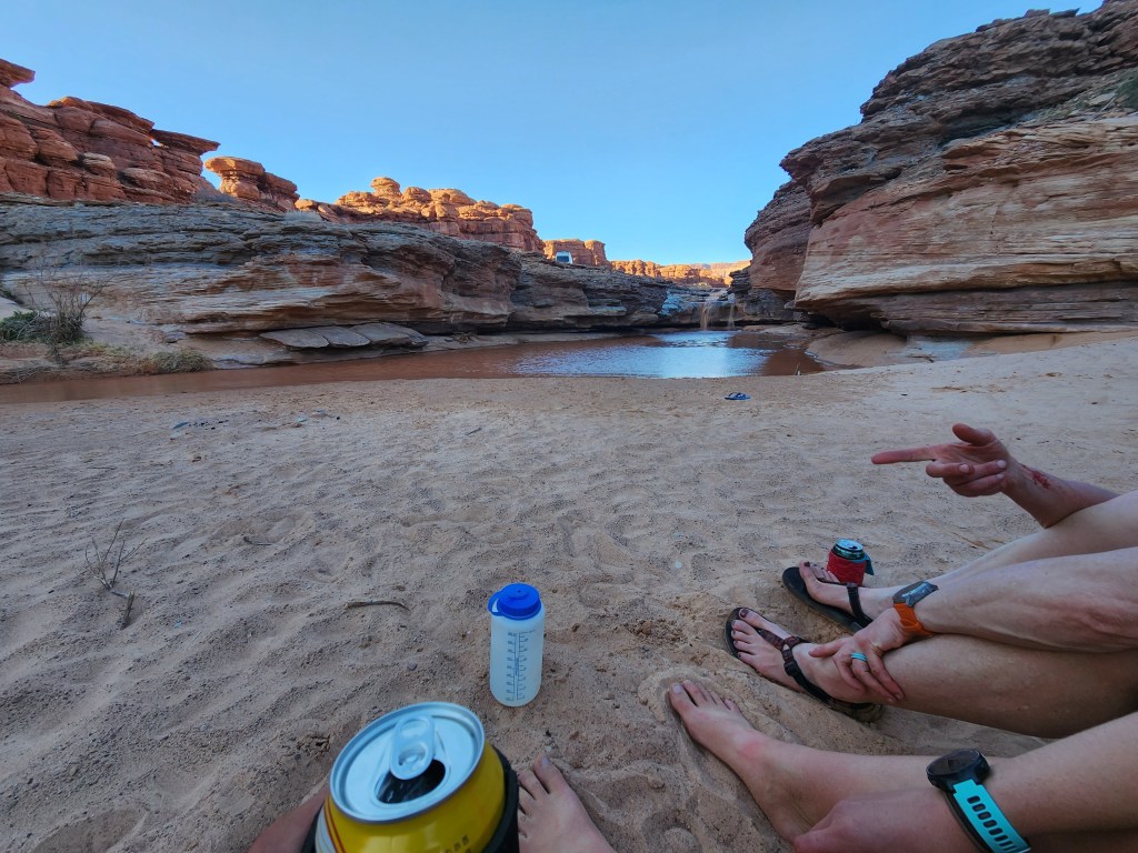
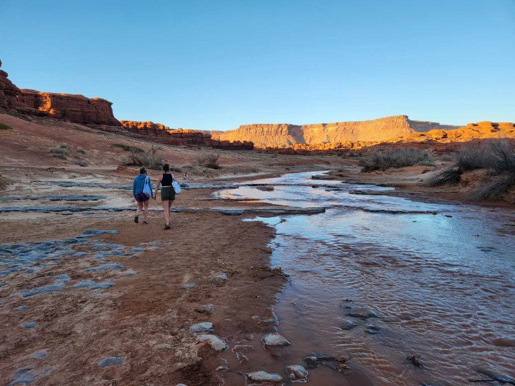
Winding and weaving our way down the canyon for a mile and half, the walls opened up and we found ourselves at the Colorado River. Swollen with snowmelt from a record setting winter in Utah, the river quietly rushed by, carrying loads of driftwood in its silty waters.

There was a small cove where our wash met the Colorado. After a hot day of hiking, I couldn’t resist jumping in. Maggie opted to watch as I took my shirt off and stepped into the squishy mud on the river banks. The water was cold – somewhere in the 40-50°F range, if I had to guess – but I love a good cold plunge! I tried my best to stay in and cool my core. Primal instinct took over at a certain point, and I leapt out of the water to warm up.

It was barely 6 pm, so to shorten our hike out, Maggie and I hiked a couple miles back up the wash and found a flat spot to camp. Despite having only hiked about 10 miles, it really felt like a full day. There were so many interesting sights, and we were happy with the route we had chosen. We slept under the stars with some cool spring time air pouring down the canyon.
We were up and out of camp by 8 am the next morning. It felt wonderful to climb out of the canyon in the mild morning air, but the sun greeted us once we crested the rim.


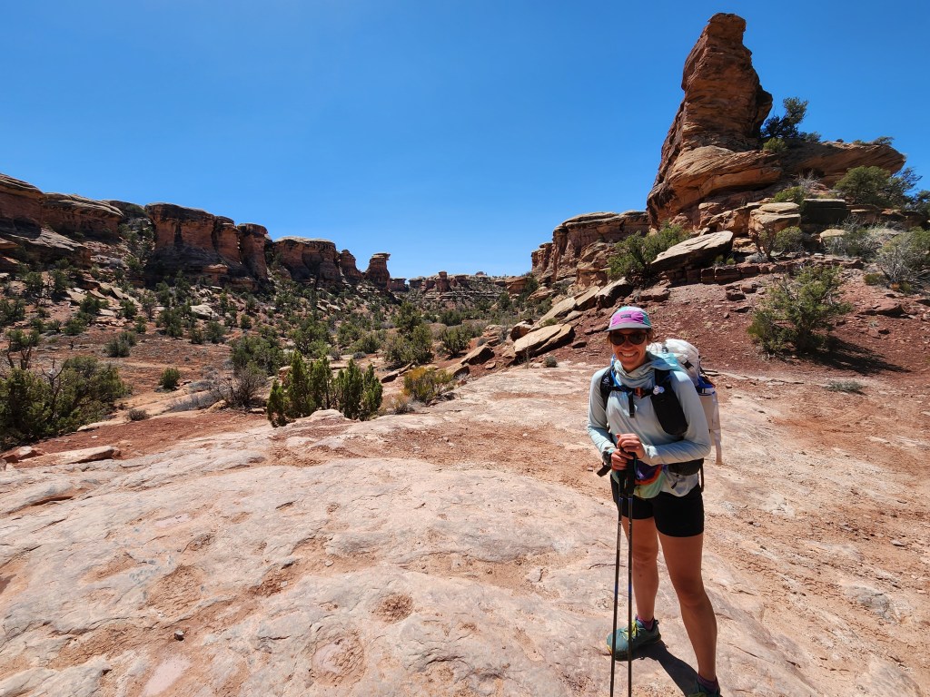
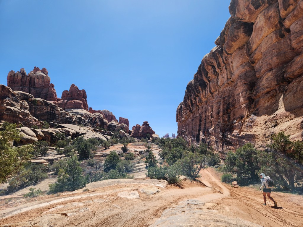
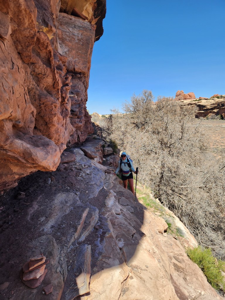
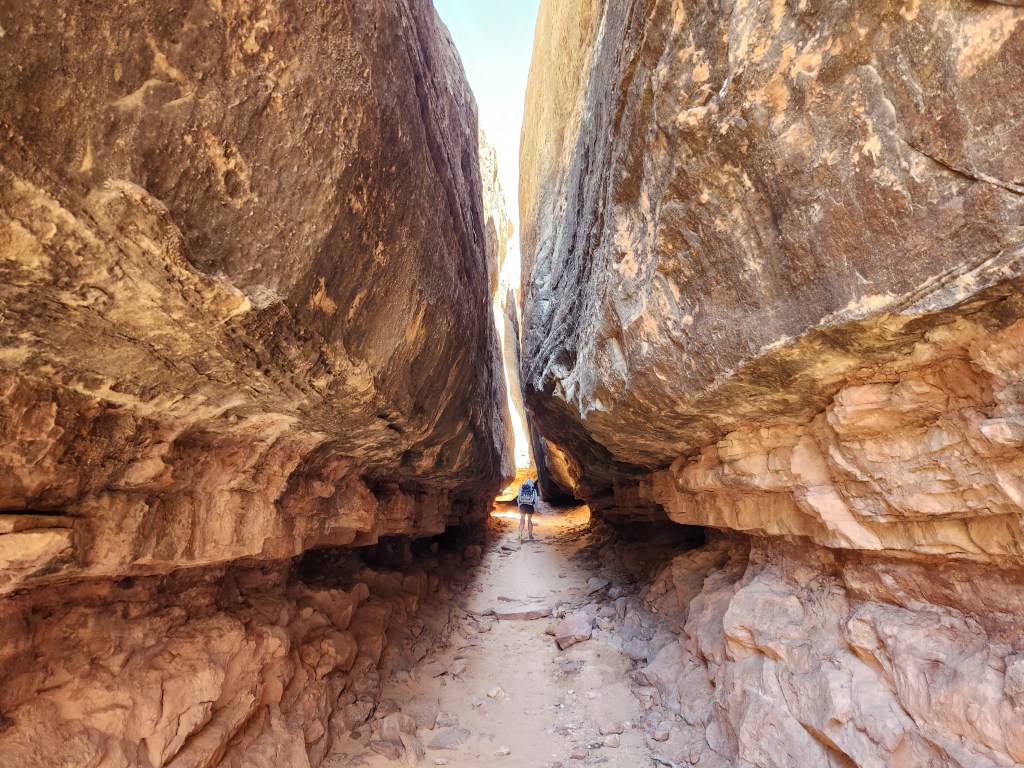
We traversed the grabens in reverse, eventually turning south at Devil’s Kitchen Campground. Our target was the Joint Trail, which passes though a little slot canyon. I had done the Joint Trail twice before, and I was eagerly waiting to show it to Maggie. The three and a half miles leading up to it were pretty cool, especially a small pass through a wall of sandstone needles.

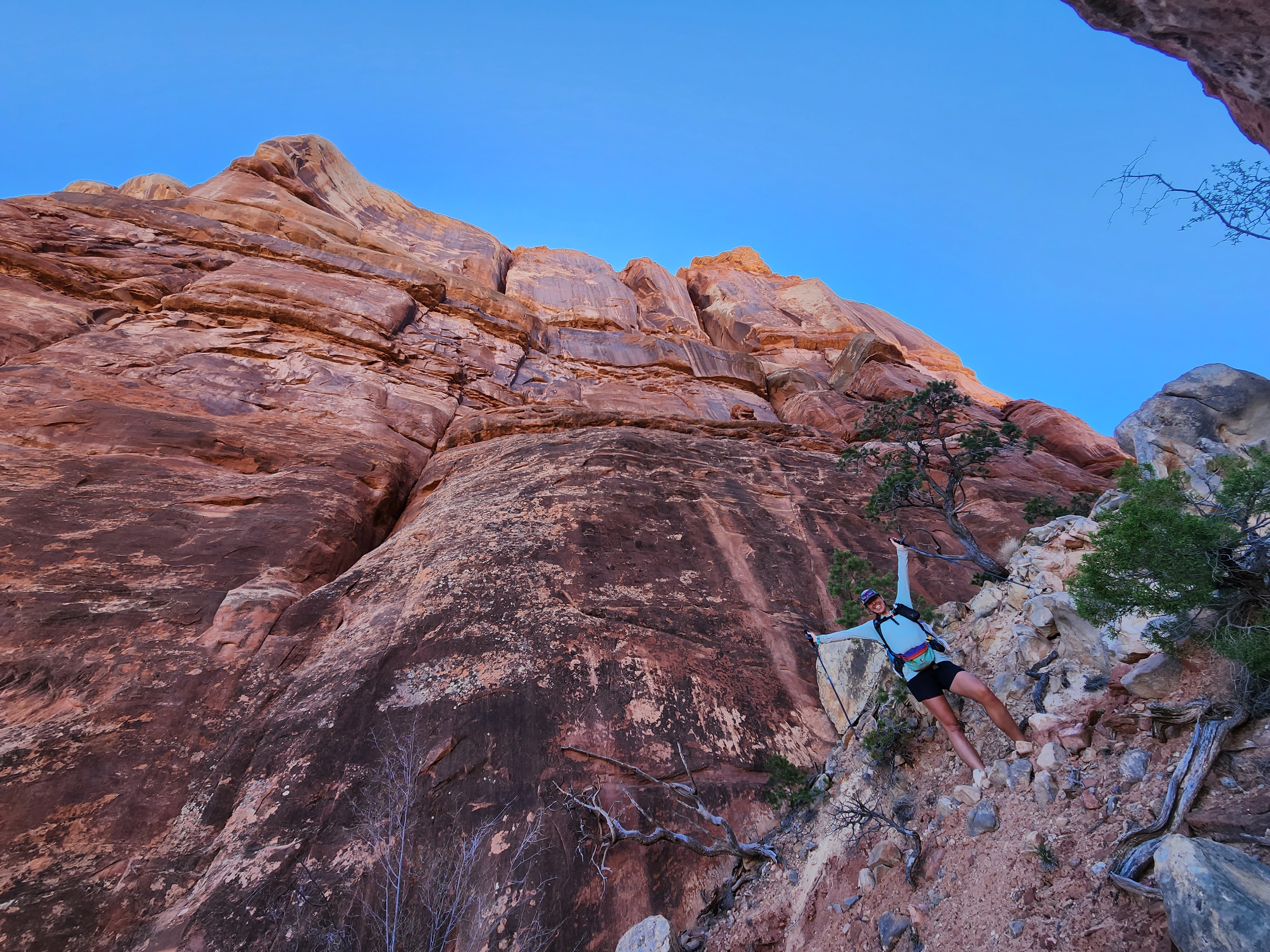

Hunger was growling in our bellies, but I compelled Maggie to press on, as I knew the perfect spot to stop for lunch. The trail took us from wide open views and juniper filled valleys into tightening gaps in the rock. Eventually, a slim staircase led us up into an unlikely cavern filled with carins. This was the start of the Joint Trail.

In an Indiana Jones moment, the sunlight was shining perfectly through the crack which went all the way through the sandstone ceiling. A group of hikers passed through a few minutes later and the sun beam had passed. They had no idea what they missed!

We took a seat on a natural bench in the rock and devoured our food the cave of carins. The cave is perhaps the widest part of the Joint Trail. After that, the route passes through slots barely 3 feet wide with walls 30-40 feet tall. This trail is not one for the claustrophobic!

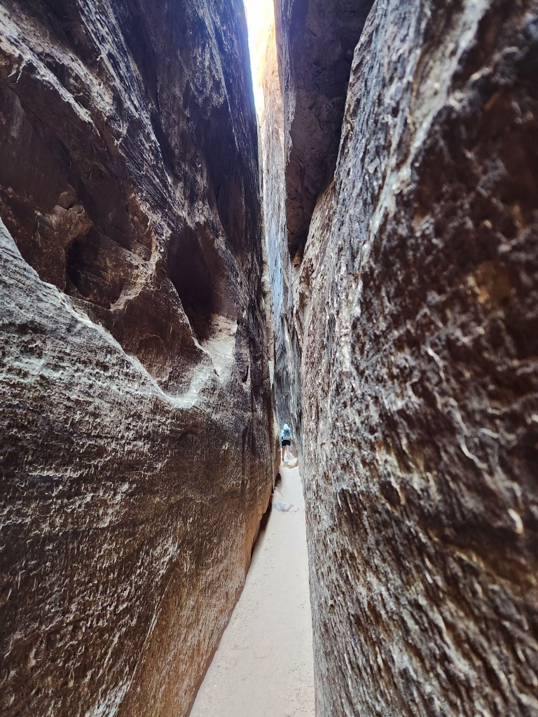
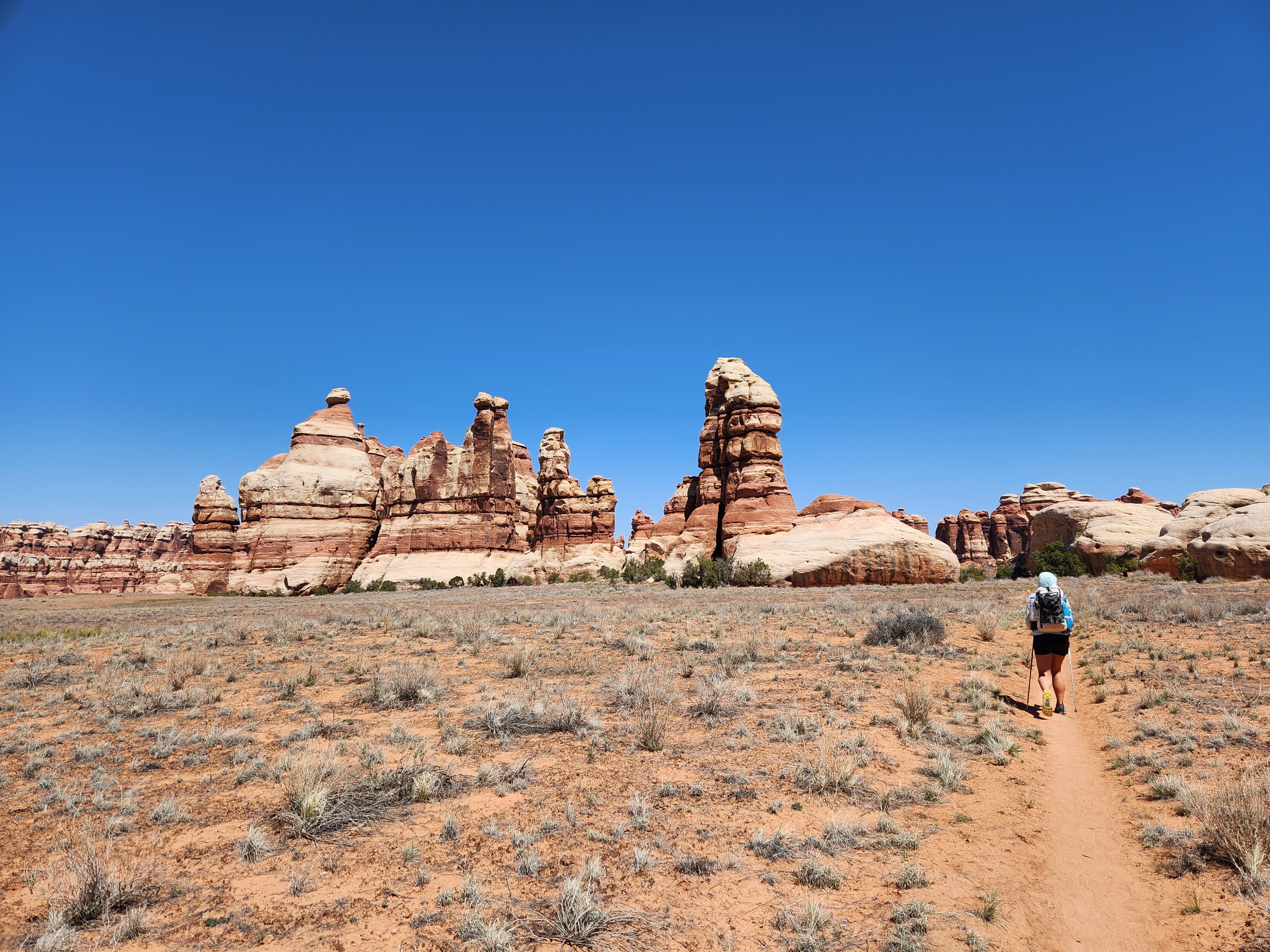
Maggie and I dropped our packs briefly and explored the side slots, eventually finding a route to the top of the disjointed blocks. The view of the surrounding needles is amazing! We peered down into the slots and heard voices coming up from below. Scrambling back down, we stepped through the remainder of the Joint Trail, then emerged on the surface again in Chesler Park.

We cruised through the last 4.5 miles back to the car. That section is fun and interesting as well, with lots of little ups and downs on the slick rock and plenty of nice views. Returning to familiar trails jogged my memory from my last hike here ten years prior.


Maggie and I were done hiking a little before 3 pm, then we (some what foolishly) drove all the way back to Salida, CO, getting home around 11:30 pm… What a wild day.
Even though I’ve been immersed in the sandstone maze around Moab on so many occasions, I still love getting sucked back in, only to find these new and enthralling adventures. I have a few more places in the area on my list I would like to check out, or perhaps Maggie and I will go all in and thru hike the Hayduke Trail – a 800 mile route from Arches NP to the Grand Canyon and Zion NP. It’s only a matter of time until the gravity of these canyonlands pulls me back.
